Click to zoom …
Walk Details
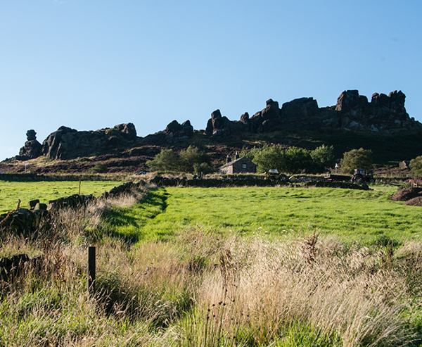
From a parking place towards the upper end of the several laybys, walk back down the road for a few yards, then turn left through a little gate to follow a broad stony track rising towards the low saddle which separates the main scarp of the Roaches (rochers – rocks) from the isolated peak of Hen Cloud (clud – celtic for peak). Most of the walk lies within the Roaches Estate, owned by the Peak National Park Authority.
Read more ...
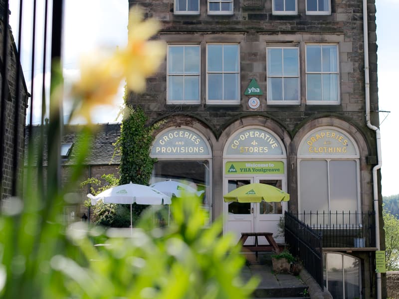
To the left is a curiously sited house, built almost under the cliffs which provide such a popular playground for rock climbers.
1. Turn left at a junction of footpaths opposite a stile in the wall on the right, to climb fairly steeply up the southern end of the Roaches ridge. Keep left at a fork to stay with the main path which has had extensive erosion repair works. The path soon levels, winding its way attractively between the foot of the gritstone crags and a coniferous plantation. At a signpost turn sharp right for the final ascent to the top of the scarp, now with long views to the east.
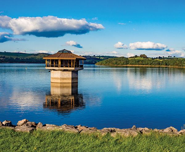
Turn left at the top to follow the clear path for more than one mile, passing Doxey Pool, to the trig. point at the summit, a delightful walk in clear weather, with extensive views, including Tittesworth Reservoir.
2. Continue from the summit, soon descending past huge rocks, some of fantastic shape, to reach a minor road at Roach End.
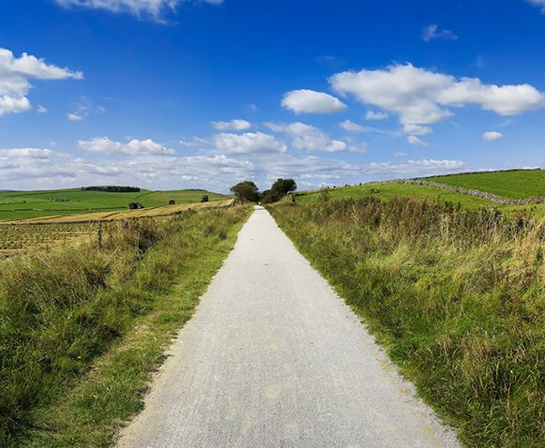
3. Cross the minor road and turn right, downhill, along a stony farm access road, heading for a large farm. Pass the farm and continue along a grass path, narrow as it passes through heather and bracken. Reach Black Brook, crossing on a little concrete bridge. Go over a stile in 30 yards. At a signposted junction head for ‘Black Bank’. Go over an old stone stile by the side of the stream and bear a little to the left to another waymarkedstile as a farm, Goldsitch House, is approached. Cross the farm approach road to a small gate with a white waymark and bear left behind the farm to head for another waymarked small gate. Join an unsurfaced farm roadway, turning right to pass a muddy section.
In 50 yards turn left along a ‘concession path’ to a signposted stile and follow a path past the Black bank premises. Turn left in 30 yards to enter a Staffordshire Wildlife Trust area, with information board setting out the varieties of bird which frequent the area. Go over a stile and bear right, initially along a grass swathe. Go over another stile; below is Shaw Bottom Farm. Bear left by a pronounced gully, to walk uphill along its far side, with farm buildings to left and right ahead. Cross a bridge over a ditch and then a stile to join a minor road.
4. Turn right, to walk uphill by the roadside to a junction by Corner House. Turn right to walk along another road for 300 yards, downhill, then bear right at a fork, staying by the roadside for a further 400 yards.
5. Turn left over a cattle grid to leave the road and follow a ‘walkers only’ broad stony track, rising steadily up the moor. Fork right in 300 yards and then go over a stile, after which the track is rougher, entering the Roaches Estate again and rising to the saddle opposite Hen Cloud.
a) As an extension to the walk, circumnavigating Hen Cloud, turn left over a stile and descend to Well Farm. Continue past the farm for almost 0.5 mile and then turn right at a farm access track which passes round the southern flank of Hen Cloud before joining the Roaches access road to the south of Paddock Farm. The farm is passed on the return along the road to the parking area.
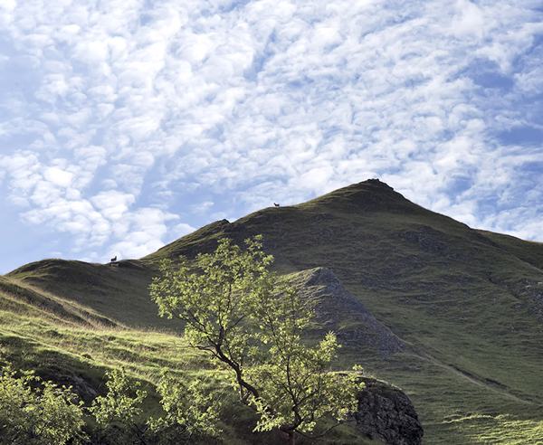
b) Many might find the peak of Hen Cloud to be an irresistible challenge; 100 yards or so after the first stile there is another stile, at point 1) on the outward route. A left turn here leads to an obvious path to the summit (410m. 1346 ft.). If neither variation appeals, retrace the outward route from point 1) back to the car parking area.
 Nearest Train (or tube) Station(s):
Buxton, Derby