Click to zoom …
Walk Details
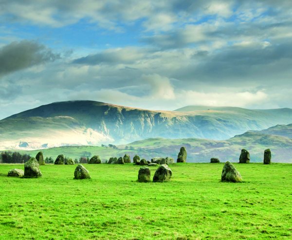
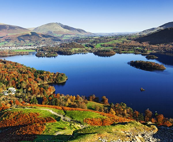
A lovely circuit from the village of Threlkeld which provides a glimpse in to the wilds that make up the the northern fells. A route which can be adapted to suit the walker or weather and even the option to visit one of the most remote hostels in the UK.
From the car park continue to follow the road which heads for the ‘Blencathra Field Centre’ up the hill.
Read more ...
After about a mile of walking you will reach the centre and at which point the road will stop and you will join a bridleway.
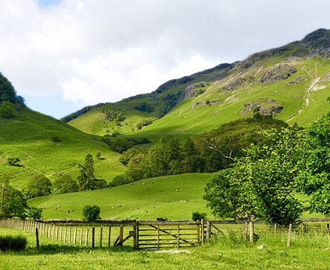
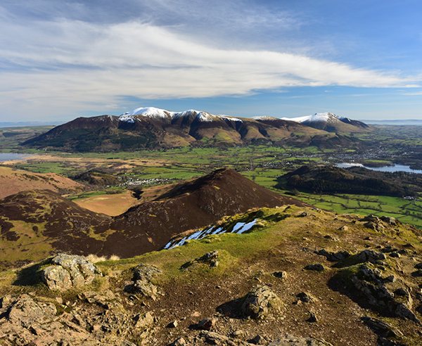
The bridleway contours around the lower slopes of Blease Fell, the farthest west of the 5 fells which make up the mighty Blencathra.
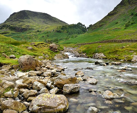
Continue on the bridleway as it swings northwards and makes it’s way above Glendeterra Beck which is now down to your left. If you look across the valley to opposing slopes you will see another path which is the Cumbria Way.
You will be returning on this path under the impressive crags of Lonscale Fell. Follow your current path for 1.5 miles where it will cross the beck.
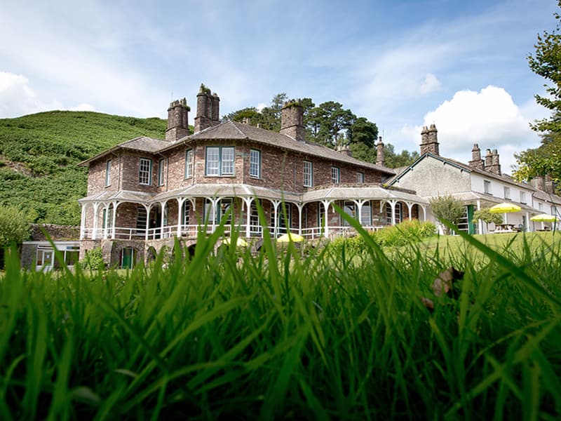
Follow the obvious path up the slopes away from the river to join the Cumbria Way. At this point you may wish to take the option to go and visit Skiddaw House, one of the most remote hostels in the UK. Tea and Coffee can be purchased daily. This detour adds a total of 2 miles and 60m of ascent to the route total.
You’ll now be heading southwards on the Cumbria Way and will climb high above Glendeterra Beck. This path is a an excellent walking experience and should be savoured. As you look southwards you should be able to get fine views of the Helvellyn range ahead.
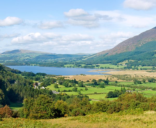
After a mile the path will swing to the west and head along the broader slopes of Lonscale Fell, one of the fells which makes up the huge bulk of Skiddaw (the 4th highest mountain in England). Follow this path all the way to the larger car park at the back of Latrigg.
At this point you have multiple options.
a) Summit Latrigg and enjoy some sensational views. This adds 1 mile of walking and 60m of ascent to the route total. If you summit Latrigg and wish to pick up the rest of this route card simply descend to the north east from the summit and pick up the broad track.
b) Descend to Keswick via Spooney Green Lane (Head down the car park a few metres until you come to a gate with a descending path to the south west) and get the bus back to Threlkeld.
Please note you cannot walk along the old trainline from Keswick back to Threlkeld due to Bridge closures caused by the floods in 2015.
From the car park follow the track to the south east / east and start to make your way back to Threlkeld. You must now follow a well-defined path along from the top of Latrigg, which leads to a gate. Go through the gate and head towards the gorse thicket. You will eventually reach a gate with a stile next to it. Cross the stile and turn left down the road towards a house, which is on the right hand side of the track.
Continue on this road heading for ‘Wescoe’. As your current road meets another simply turn right and follow this back in to Threlkeld. Once in Threlkeld turn left at Blease Road to reach the car park. If you should wish you can link together the public footpaths through the fields from Wescoe. Simply head through the kissing gate at the end of the driveway leading to the white farmhouse (not advisable in wet weather).
 Nearest Train (or tube) Station(s):
Penrith, Carlisle