Click to zoom …
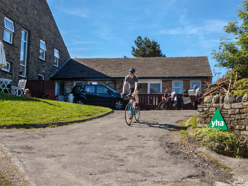
Walk Details
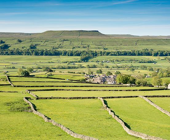
The area east of Semerwater holds a wealth of historical interest, especially so around Carpley Green, a working farm resting peacefully beneath the flattopped hill named Addlebrough.
NOT TO BE CONSIDERED IN MISTY CONDITIONS
Read more ...
Lavishly spread around that location are examples of prehistoric occupation, left by ancient British settlers in the Iron Age period. Field systems and hut circles associated with their settlements are easily identified by the trained eye.
In recent times a rare Bronze Age burial chamber was uncovered. It revealed a skeleton entombed in a stone coffin. emains of a Iron Age fort have been verified at the summit of Addlebrough too.
During the Roman occupation (80-395AD) Bainbridge was called Virosidum and housed a large garrison at their fort on Brough Hill (no remains). The settlement was a strategic point in their communications system. Virosidum was the centre point of a road network.
Evidence of two Roman Roads remains. One, now known as Cam High Road starts about a mile south west of Bainbridge, originally travelling to Ribchester near Lancaster. The other road led south to Ilkley (Olicana) and is believed to have followed the route of High Lane, which this outing treads in the closing stages on the approach to Stalling Busk.
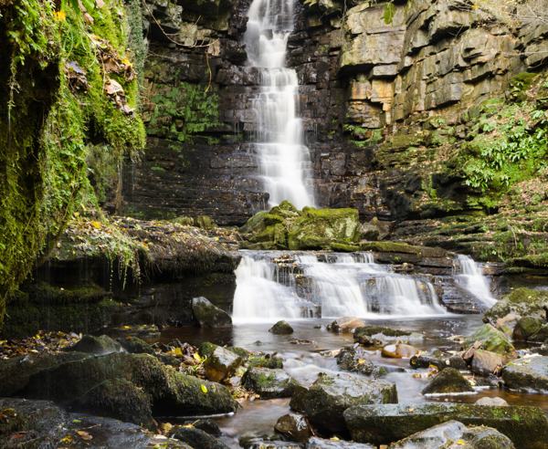
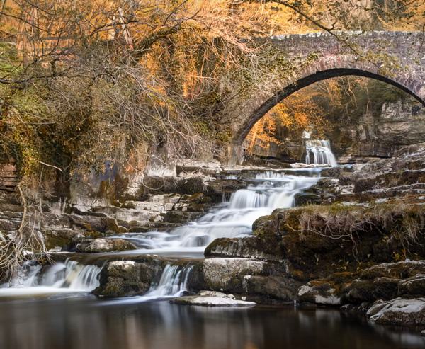
Semerwater predates everything else, being about 10,000 years old! The lake formed by the melting Raydale glacier. The outpouring water blocked by moraine.
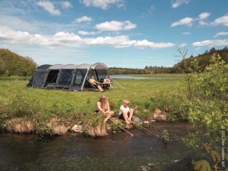
Start from Semerwater Bridge following the route towards Bainbridge alongside England’s shortest river – the Bain. Cross a footbridge, a stile then a ladder stile and leave the river to follow a green swathe uphill towards Bracken Hill.
Cross three stiles in quick succession and rise to the summit of Bracken Hill, an insignificant, yet deceptive mound, which offers superb panoramic views. Beyond the summit veer slightly right, making towards a gated stile at the wall corner. Pass through the stile and immediately turn right passing through an adjoining stile walking in the opposite direction alongside the wall. Walk the full length of this field towards a ladder stile.
Turn left along the road towards a mast.
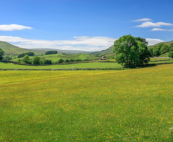
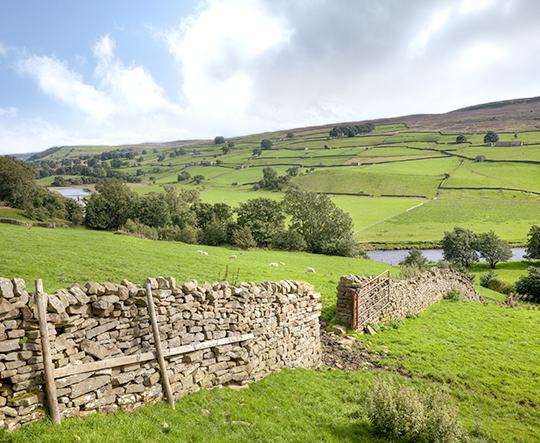
Follow the road to a junction and swing right into Carpley Green Road. Pass the mast, cross a cattle grid then tread the road to Carperley Green farm. Spectacular views of Raydale and Semerwater are instantly available. The flat-topped hill near Carpley Green is called Addlebrough.
Walk through the farm – signpost Stake Road – and continue along an obvious track for three miles – Busk Lane. It’s up hill all the way, so make frequent stops, and savour the retrospective vistas.
At a junction swing right towards Stalling Busk, following a downward route which the Romans used 1900 years ago. This is High Lane. One of Yorkshire’s less known valleys, Cragdale, appears below on the left. The location identified by a trio of small plantations. How did a railway box van get up here?
Three quarters of a mile beyond the box van an old, rusty, tanker marks a departure point on the left. A stony lane (Bob Lane) leads into Stalling Busk. Follow the road through this reclusive outpost. The church, St. Matthew’s, was built in 1909 replacing an older church situated nearer the lake.
Pass the church and a cottage named Raydale, then veer left descending a grassed banking. Signposted – Ruined church. The lake will be clearly in view as the path descends steadily and arrives at the old church. This church was erected in 1722 on the site of an earlier construction dated 1603. Judging by the gravestones, the burial ground is still in use.
Conclude the walk by following the signpost to Semerwater. This leads into a nature reserve following a path, which is richly embroidered with wildflowers in season. The path gradually descends to the shoreline, before rising away again, and after crossing several fields arrives at a road close to Low Blean farm. Turn left for Semerwater Bridge.
A legend associated with Semerwater recounts there being
a village beneath the 40-50 foot deep water, and how on still nights the church bell has been heard ringing.
Apparently, many years ago an impoverished looking man sought food and shelter in the village, but was turned away by all except an old and poor couple who lived on the higher slopes of the village.
The stranger was an ‘angel’ disguised as a pauper and put a curse on the village’s inhabitants by ordering the waters to rise and cover all houses except the one where the charitable couple lived. Read The Ballad of Semerwater by Sir William Watson.
In reality an Iron Age settlement is known to have existed on the shoreline. This was revealed when the water level was lowered in 1937.
A large stone at the north end of the lake is the Carlow Stone (look for a face) and two boulders at the water edge – the Mermaid stones. All are pure limestone, deposited by glacial movement.
 Nearest Train (or tube) Station(s):
Hawes, Carlisle