Click to zoom …
Walk Details
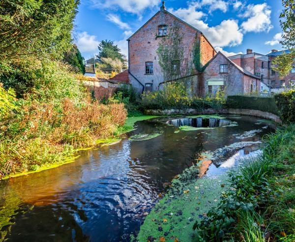
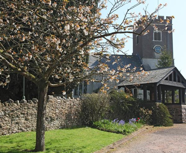
The village rests in a quiet valley, surrounded by tree-lined hills. A lovely place to be. Besides the ancient church, there’s a post office/general store and two pubs, the Fountain and the Masons Arms..
Walk through the churchyard (signposted) to an exit stile. Cross a footbridge, then ascend steeply to another stile. Climb the (66) steps and another stile to reach level ground and the South West Coast Path.
Read more ...
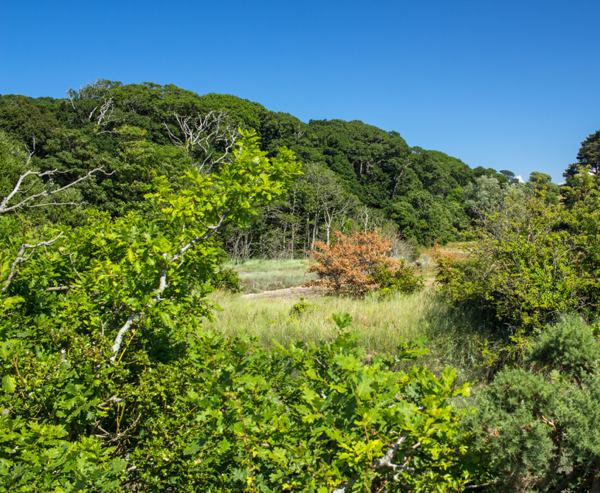
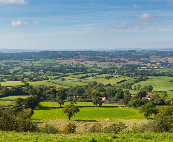
Turn right along the top of the ridge. No sign of the sea at this point, the route passing through mature woodland.
Arriving at a signpost (Weston Mouth 2) turn left, then shortly afterwards a second signpost invites a right turn, the path curving upwards towards a gate and the headland beyond. Looking east, the Isle of Portland can be seen, given the right conditions.
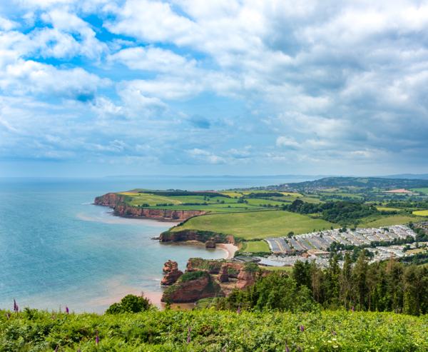
Now simply stride out, heading in a westerly direction for 1½ miles. Dramatic seascapes are company most of the way, looking down to Sidmouth and Ladram Bay.
Further to the west Torbay, Brixham and Berry Head can be seen. The route takes in two areas of N.T. owned land – Coxe’s Cliff (where the path bends inland to avoid the gully at Littleham Shoot) and Weston Cliff.
Departure from the coastal path is imminent when the white painted O.S. triangulation point is located, in the centre of a field on the right. Soon after passing this point, the coastal path descends into Weston Combe. Instead, turn sharp right to follow a track running high above the combe. Eventually, the track descends through mature woodland where, in summer months, the monotonous repetitive call of the chiff-chaff cannot be avoided.
When merging with another track, veer right and head inland to reach the hamlet of Weston with its lovely cottages and gardens. Turn left and walk straight ahead, leaving the houses behind, towards a road junction (Weston Cross). At that point turn right, following the road towards a solitary thatched cottage. Turn left into an unmade lane, with a modern farm building ahead.
Continue behind the building, walking in a wet and muddy enclosed lane through several gates to reach a stile where the lane ends. Maintain the previous direction along the edge of two fields (wide swathes cut to aid ramblers, when I passed by) to arrive at a road. Enter the narrow road opposite. When the road dips (Edge House on the right), follow the road to the right and down the hill.
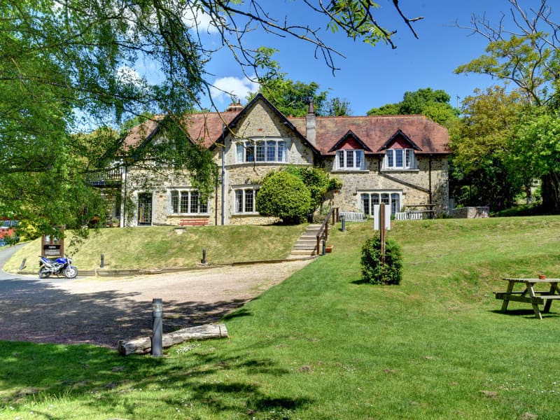
The road descends half a mile to the reclusive hamlet of Edge Barton. Continue on the drive to the Manor House and then pass through a gate to the right.
Descend towards two ponds and onwards on a wet and muddy track to pass through another gate. Follow the track as it rises through woodland with damp terrain underfoot. When merging with a bridleway, swing left to arrive at Hole House. Walk half a mile along the driveway and the ensuing road. At Culverwell, continue straight on through the gate to arrive back in Branscombe.
Turn right for refreshments at the post office/store and the Fountain, or left for the Masons Arms. Either pub requires another 1/2 mile walk!
 Nearest Train (or tube) Station(s):
Honiton, Exeter