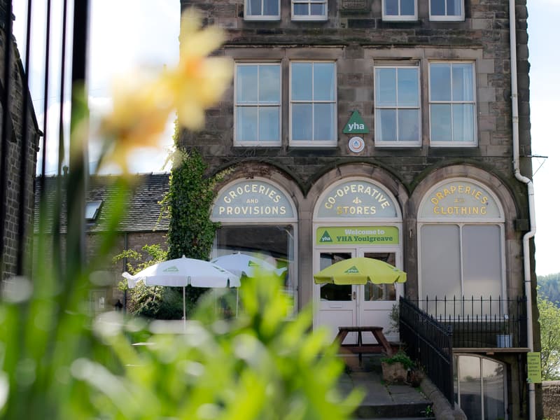
Walk Details
Following the partial collapse of a near-completed dam in the 1980’s, the present structure was completed in 1991.
Note: both walks have a steepish gradient up to the far end of the dam.
CAUTION! Only attempt this walk if you have strong, preferably waterproof, boots as you have to ford a stream halfway.
Read more ...
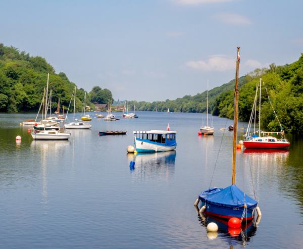
Go to the entrance to the Sailing Club, turn right up the access road and then right at the main road. Cross it and after about 40 yards turn left at a stile.
1. Rise up the field by the hedge(L) for some 130 yards, then turn left at a squeezer stile + gate to walk diagonally right across the field. Go through two separate gates in and out of an enclosed area. Overtown Farm is quite close(R). Walk a few yards and turn left along the line of a hedge(R) for almost 100 yards.
Turn right through a waymarked gap and walk down the field to a squeezer stile.
Turn left joining Enslet Lane for some distance, soon with a small stream below on the right. At a ‘T’ junction CAUTION – FORD (with NO bridge!); turn left and go uphill on a rough surfaced lane. Bear to the right at the next junction in about 150 yards.
2. 60 yards after the top of the rise, turn left at a V-shaped signposted stile. To visit Hognaston village, with its post office, inn and a church with ancient stone carvings in the porch, 13th century tower with walls five feet thick, and other good features, continue along the lane before turning right into the village. The route carries on across a pasture to a gate, then right to a stile in an old hedge, showing evidence of the age-old technique of layering. Take a worn track diagonally right towards a gap in a line of trees and then on to a stile at an area of tree plantations. Go on to another stile + doggy hole. Now you are crossing an open field below the dam, and you need to keep bearing right to join the waterworks roadway.
3. At the waterworks roadway follow it to go through a field gate and descend left to a footbridge by the side of a ford. Cross a surfaced road to a post with waymarks; go straight on, up the rise, to stay with the roadway as it winds up a steepish gradient towards the public road.
4. Go through a field gate and cross the road to a gateway on the opposite side. In 30 yards reach a man-made track, turning left to walk towards the dam. On the right is an amphitheatre-like viewing area with a seat and information board. Walk alongside the dam bank with its attractive views and occasional seats, passing to the left of the sailing club to the car park.
 Nearest Train (or tube) Station(s):
Matlock Bath, Derby