Click to zoom …
Walk Details
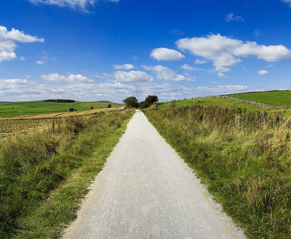
A nearly level walk around a fine stretch of water, using the trackbed of the former Macclesfield to Leek railway line, closed in 1960, as part of the outward route and a Staffordshire Moorlands walk for the return.
A very narrow gauge railway has been laid from the car park to a terminus about half way along the shore, operating as a visitor attraction.
Read more ...
Tel. 01995 672280 for a talking timetable.
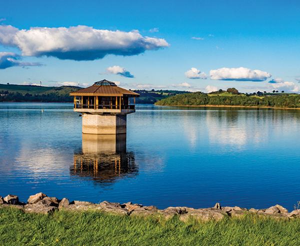
The lake was created as long ago as 1797 when the dam was constructed to provide a supply of water to the canal at Leek, 3 miles distant.
Start along the trackbed of the former railway line, heading for the lake, about 600 yards distant. Stay with this excellent broad track for two miles to the far end of the lake, accompanied for more than half this distance by the miniature railway, with stations at Dam, Lakeside and the terminus at Hunt House Wood.
The way is straight, part wooded and needs no navigation whatsoever. At the far end of the lake, go under a substantial stone bridge to reach a small car parking area, a station on the former railway.
1. Turn left here at a yellow waymark, along another broad roadway, to a signpost in 70 yards, bearing right to cross a bridge over a waterway. Reach a surfaced road, pass a wildlife area, and continue along a
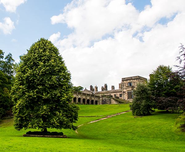
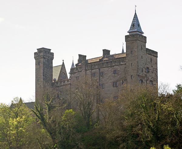
‘private road – footpath only’ with fine views along the length of the lake. The road soon bends to the left to a waymarked field gate/stile. This track is part of the Staffordshire Way and the Moorlands Walks; Barrs Lee Farm is above to the right. Stay with the farm access drive until, 70 yards before a right hand bend, a broad track forks to the left, heading for woodland. In 50 yards, the woodland is entered beside a waymarked post. Rise gently, soon by an avenue of mature trees heading towards a castellated house, Cliffe Park, a former youth hostel.
2. Pass the haha and a cattle grid and go by the side of the house to the far exit gateway. The broad track is Reacliffe Road, now gently downhill, going through/over a waymarked field gate/stile, a fine route across wooded hillside descending to a lakeside area which has various properties, businesses, houses and shacks. Go round a right hand bend and, in a few yards, turn left at a ‘Staffordshire Way’ sign. For a short distance the path is narrow; bear left at the next signpost, joining an old walled lane.
3. Join a surfaced drive and turn right, uphill, with Rudyard Vale Caravan Site on the left. Go ahead at another signpost, then fork left in 10 yards into ‘public footpath, Staffordshire Way’, which soon becomes
a narrow walled lane. Continue on roadway to join a public road, with ‘The Crescent’ on the left. Bear right for 120 yards then turn second left at public footpath signs to walk, through a small gate, to the lake shore, by the dam; there are public conveniences, slipway and a café here.
4. Pass a Horton Parish millennium stone, cross the dam, then a footbridge, to rejoin the outward route. Turn right to return to the car park.
 Nearest Train (or tube) Station(s):
Stoke-on-Trent