Walk Details
Start/car parking – Public car park, with toilets, behind the harbour in Solva, grid reference 807243.
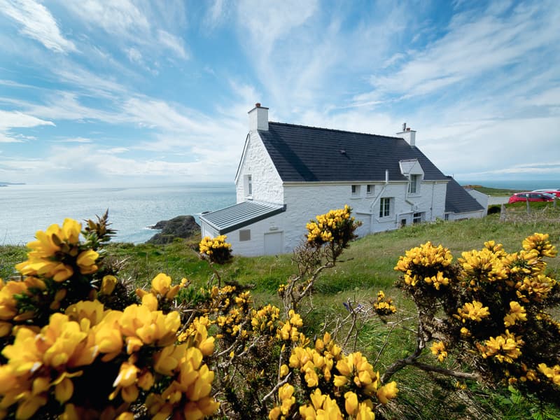
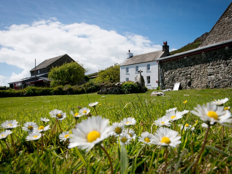
Solva is one of the most attractive coastal settlements in Pembrokeshire. It’s an old port and village clustered in a deep, narrow, valley behind a sheltered harbour.
The route set out below starts and finishes by climbing over the Gribin – a most unusual narrow promontory which juts out to sea, providing some degree of shelter.
Read more ...
over the harbour. A walk along the Pembrokeshire Coast Path and a visit to the Neolithic burial chamber, complete the circuit.
There are a few stiles and a potentially muddy section; uphill from the the Gribin is quite a demanding walk.
From the car park, cross the river footbridge and climb up the stone steps to the Gribin (There’s a National Trust ‘Gribin Point’ sign). The path is well worn so take care as you head up the promontory.
1. At the fork in the path, keep left and keepwalking up the hill. There’s some lovely views over Solva and the harbour which get better, the higher you go! At the top, walk along the ridge towards the sea.
2. At the waymark post, bear left and head down the steep, narrow path from the Gribin, towards a cove which reveals a small sandy beach.
Go through a kissing gate and cross the bridge over the stream.
3. Once across the bridge, on your way up the far side of the valley, keep to your left as you reach the top and you’ll see a waymarked post The coast path then becomes grass underfoot for a while until the next waymarked post. Go through the gate before another walk up hill and you’ll see St. Elvis Farm on your left. Continue along the coast path – there’s the odd short cut if you’re tired!
4. At the gate turn left, then right and walk along the edge of a meadow, keeping the fence to your left. Keep following the waymarks on your right for 30m then turn left to the gate. Bear left along the hedge-lined track. At the junction, bear left along a sunken lane, and head uphill.
 Nearest Train (or tube) Station(s):
Milford Haven
Click any image below to get more detail: