")

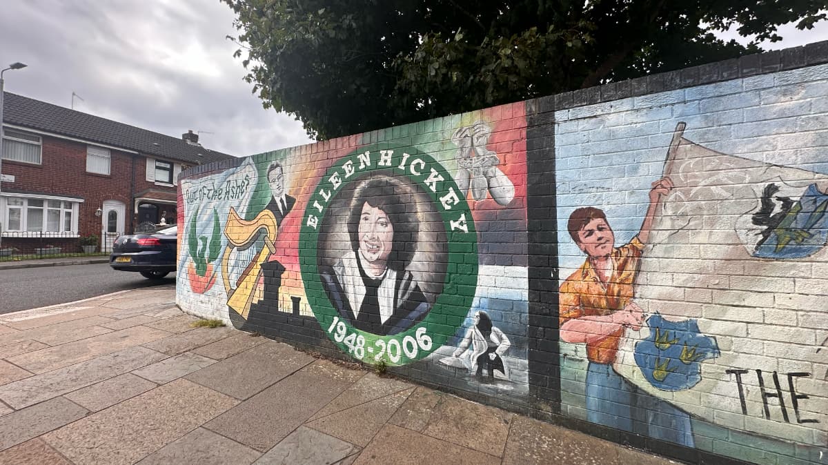
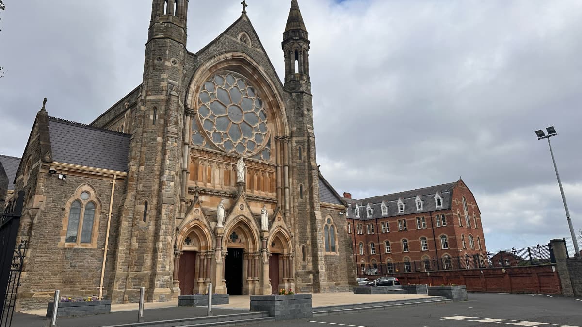
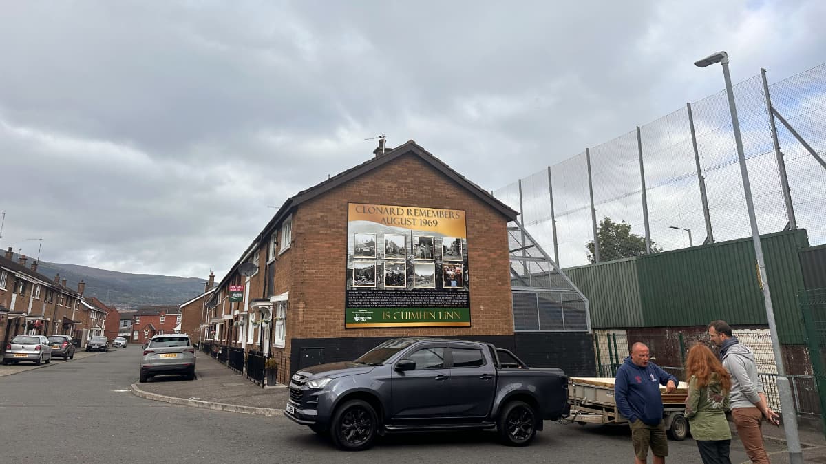
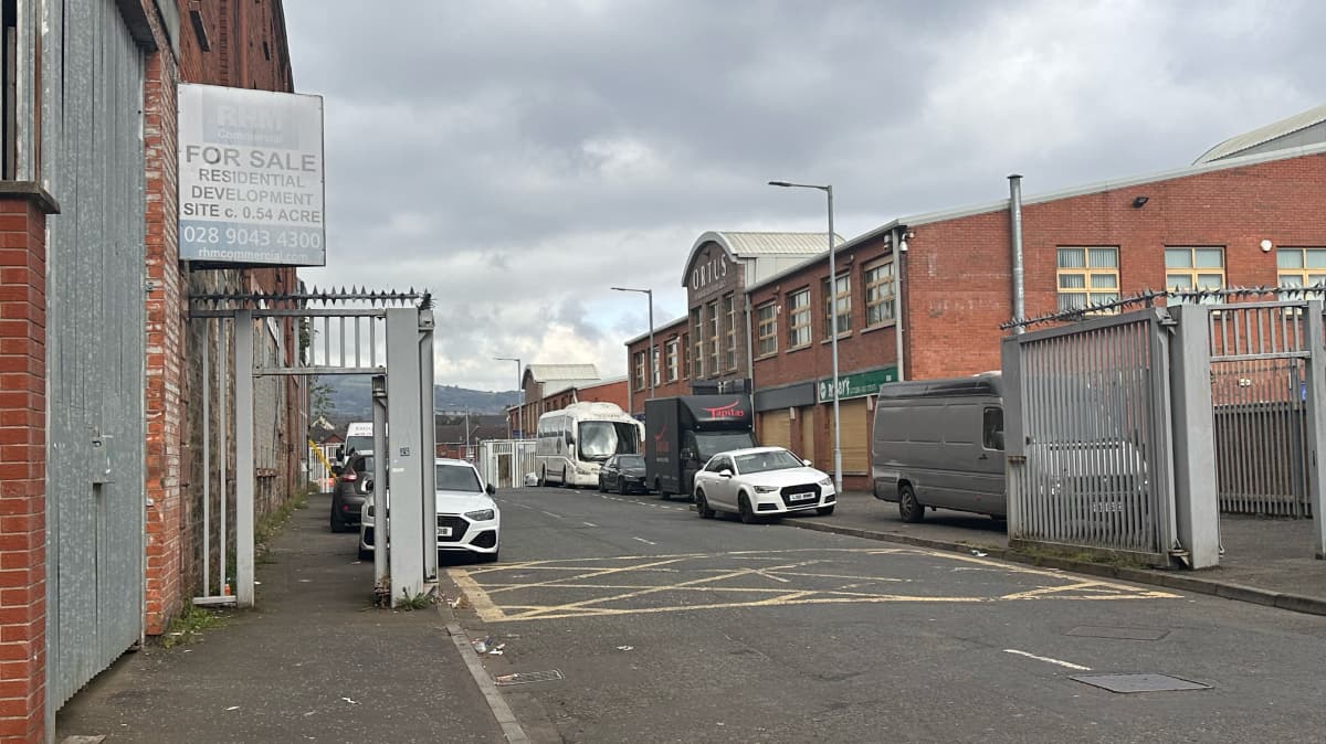
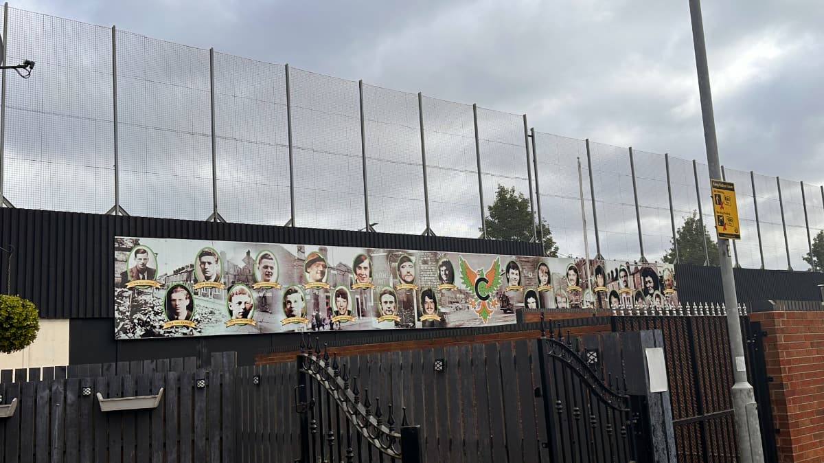
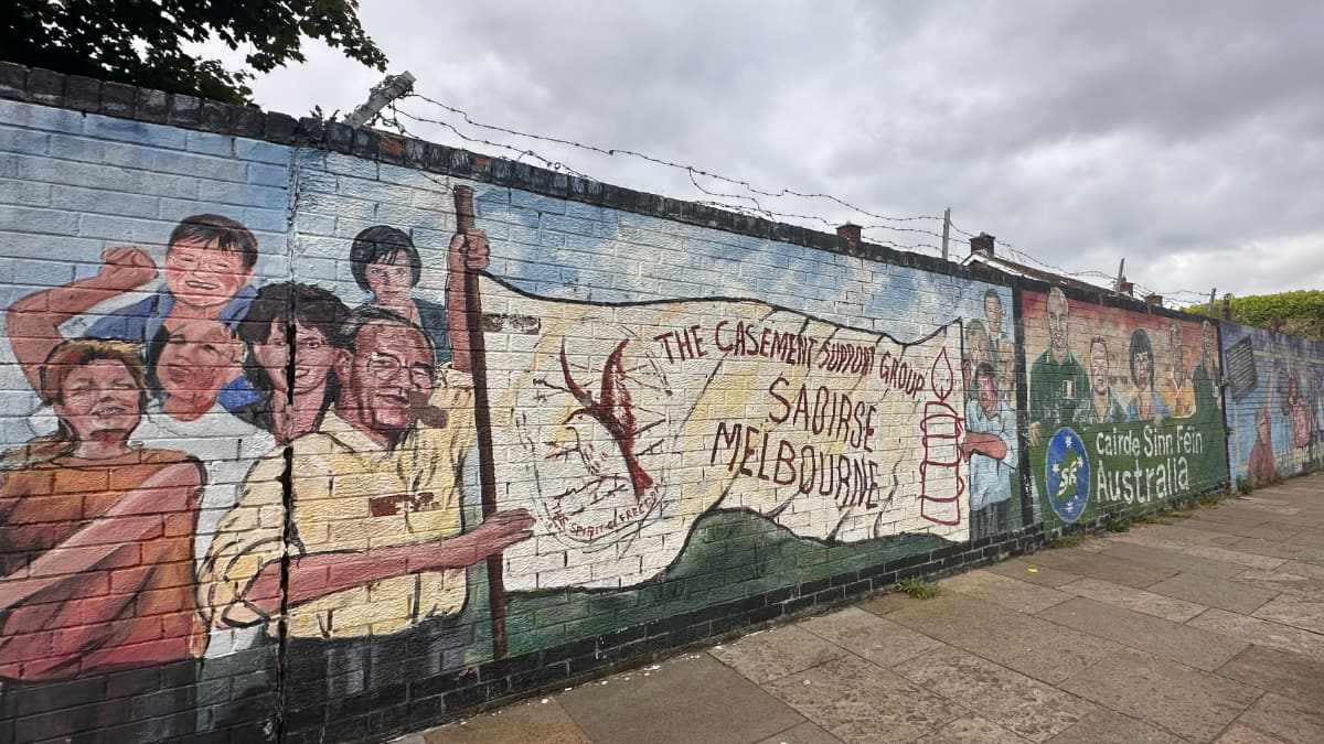
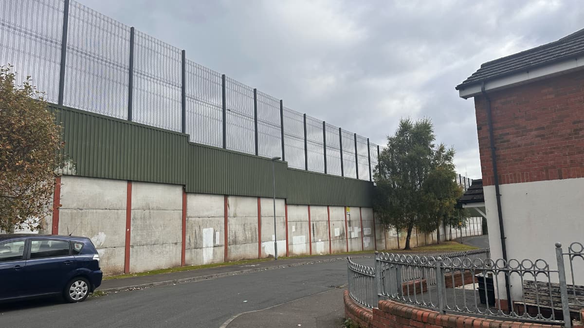
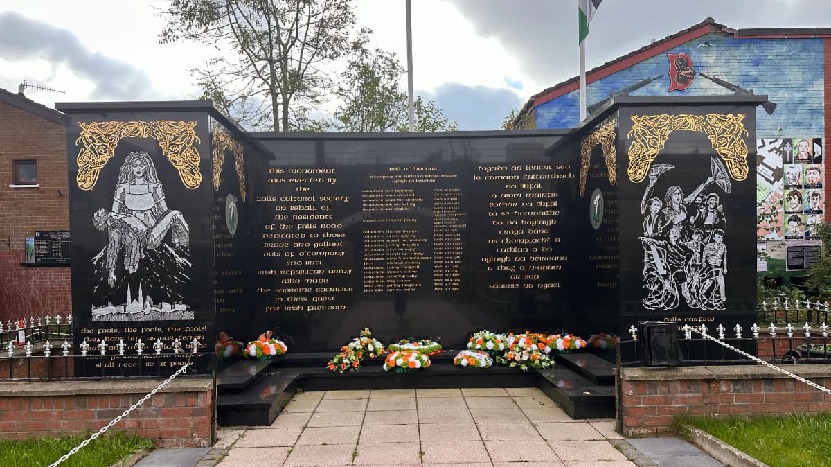
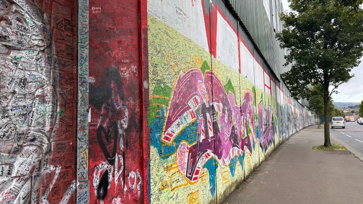

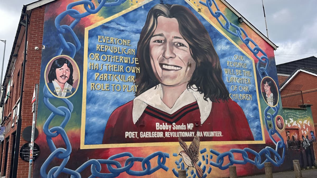
Image credit: Holly Barber
Walk Details
Belfast is a city with a past. A troubled past. And it’s one that is still within living memory – and this walk takes you to the heart of where this was, to places that you perhaps wouldn’t have been able to visit 30 years ago. Whilst this is a self guided walk – if you are keen to learn more about this period in Northern Ireland’s history – you can join a local guided walk.
Our walk starts at the Grand Central Station in Belfast – the new main bus and train station for the city and easily accessible from across the city centre. We turn right out of the station onto Grosvenor Road, turn left onto Great Victoria Street and then turn left onto Divis Street to head out of the city centre towards West Belfast.
Divis Street becomes Falls Road, perhaps one of the most famous (or infamous) roads in the whole of Belfast during the Troubles (the era spanning from the 1960’s through to the signing of the Good Friday Agreement in 1998) for being a Republican and Nationalist area. It’s an area better known locally as just “The Falls”.
Along this road you’ll find the Belfast Murals – street art that delivers a republican message both of what happened in Belfast during the troubles and what is happening elsewhere in the world today where there is a shared ideology or sense of injustice. There are murals of remembrance for those who lost their lives here, especially those from the early days of the Troubles – in August 1969 when tensions around the civil rights movement were taking off and then a year later, in July 1970 when the British Army sealed off The Falls in what has become known as The Battle of the Falls when 3000 homes were sealed off an searched for weapons. The curfew became a riot with tear gas used first and then guns.
Regardless of which side you stand politically or religiously, it’s moving to see the murals and memorials, especially those showing the ages of those who lost their lives. Many teenagers and young men who barely had a chance to live.
We take a right turn onto Clonard Street, passing the Church of the Most Holy Redeemer until we come to the end of the road. Here we get our first glimpse of the Peace Wall. First erected in 1969 the walls were erected by the British Army after intense street riots. Whilst only sections now remain, they once stretched for 21 miles across north and west Belfast. This stretch is one of the most famous – sitting between the nationalist Falls Road and the unionist Shankill Road – an area that we are headed to soon.
Turning right into Bombay Street we come to the Clonard Martyrs Memorial. We follow the road round, cutting through alleyways until we get to St Galls Avenue and then onto Conway Street where we follow the road round to the right. You can’t help but notice the former linen mill on your left – now home to a great cafe, artists studios and businesses. There’s also a toilet here in case you need one! Opposite there are more murals. We continue on until we get back to Falls Road, we turn left and then left again next to Falls Road Leisure Centre on to North Howard Street.
This is a road that goes through the walls – and because of this has gates on it, with a no man’s land in between. Here it really hits you of what life was, and is like for those who live here. Especially when you learn that the gates still close at night.
From here you follow the wall – noting the change in style of street art. From the murals on one side of the wall, this side is more akin to graffiti. But then you look closer. You see it is covered with names. Of those, who like you, have walked this path before. Those who have added their name in celebration of peace. Take a moment to add your own name if you feel called to do so.
It was here that I met a local gentleman walking his dog. With other people generally visiting as part of an organised tour, he was somewhat surprised to see me arrive alone. Out of genuine curiosity he asked me why I had come to this part of the city. After thinking for a moment I replied that I had come to remember what had been. Whilst we shouldn’t live in the past – we all need to move forward – we all have a duty to remember what was, to remember those who had lost their lives and to be sure we continue to move forward with peace, acceptance and understanding.
From the wall we step briefly into the housing estate opposite to loop back around. Here you find more murals on the walls. I was also struck by the number of Union Flags – a reminder, if you needed one, that this is a unionist part of the city.
We retrace our steps back onto North Howard Street, through the gates once more, turn left onto Falls Road and make our way back towards the city centre. We continue straight along Castle Street and then take a right on Donegall Place, through the shopping district and straight ahead of us is Belfast City Hall. Here you may want to pause for a moment to take in the surroundings before our route takes us back around towards Grand Central Station to where we began.
Read more ...