")


Walk Details
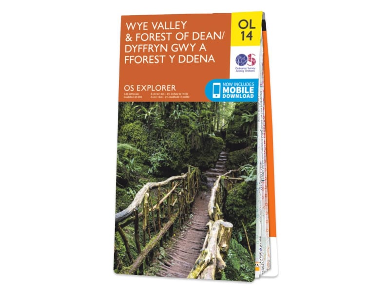
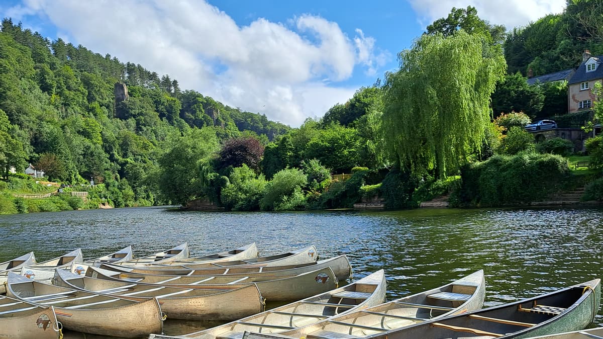
Stage 15 of the Wye Valley Walk is mostly fairly level walking as you cross the border between Wales and England four times. If you are only doing this stage you can leave your car in Monmouth and catch the number 34 bus between Monmouth and Ross, alighting at Whitchurch and following footpaths and lanes for 2km to reach the hand ferry in Symonds Yat West, opposite the Saracen’s Head. Hail the ferry to take you to the east bank of the Wye where this section starts. (The ferry runs during summer months, check times with the Saracen’s Head.)
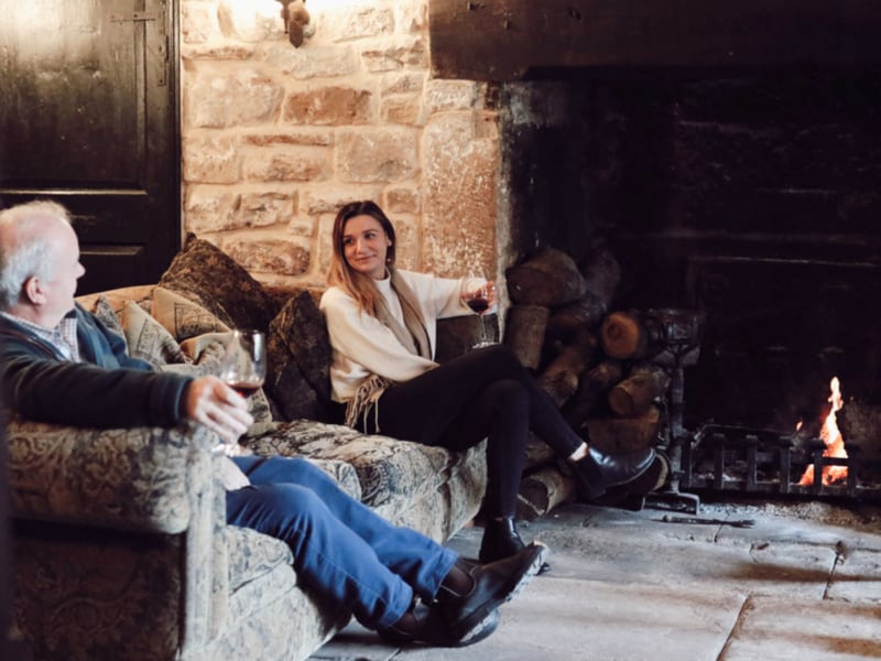
We start our walk today from the Saracens Head Inn, turning left to walk along the road with the river to our right.
Go through the car park and onto a gravel track. This is the Peregrine Path, a cycle way which runs all the way to Monmouth, but we will only follow it as far as the Biblins suspension bridge.
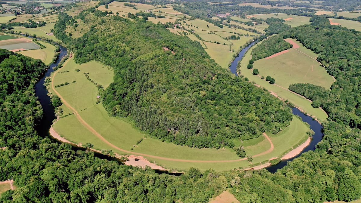
Continue along the Peregrine Path which follows the route of the former Wye Valley Railway line. After 2km (1.3 miles), just before you reach the Biblins bridge (SO549 144), you’ll notice Lady Park Wood on the left. This is a National Nature Reserve which is a unique experiment in neglect! It has been left untouched since 1945 to see what happens when there is no human interference. As such it’s very much off limits!
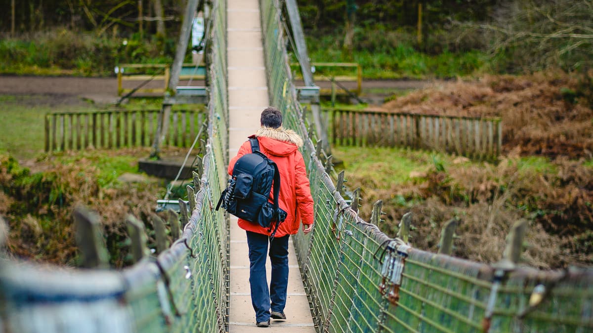
We are headed for Bilbins suspension bridge, turning right to cross it to Biblins Youth Campsite (a Forestry Commission site managed by Woodcraft Folk). On the other side of the bridge we turn left, keeping to the left of the camping field. We leave the field to follow the riverside path through woodland. Here you may see evidence of limestone quarrying to the right, whilst high above you are steep limestone cliffs including the Seven Sisters Rocks and King Arthur’s Cave. If you wish to explore these, a very steep path on the right will take you up to King Arthur’s Cave.
Our route takes us through a large metal gate and before the second metal gate, we keep left on the track close to the river (a sign says ‘Little Doward – Woodland Trust’ just before the path on the right). These gates probably date back to Victorian ironmaster Richard Blakemore’s time at Wyastone Leys, which you will soon reach. Pass the rapids around Hadnock Island and a house on the right. When the path emerges into a field, we keep to the left along the riverbank. Hidden behind the trees to the right is Wyastone Leys and above is the Doward Hill.
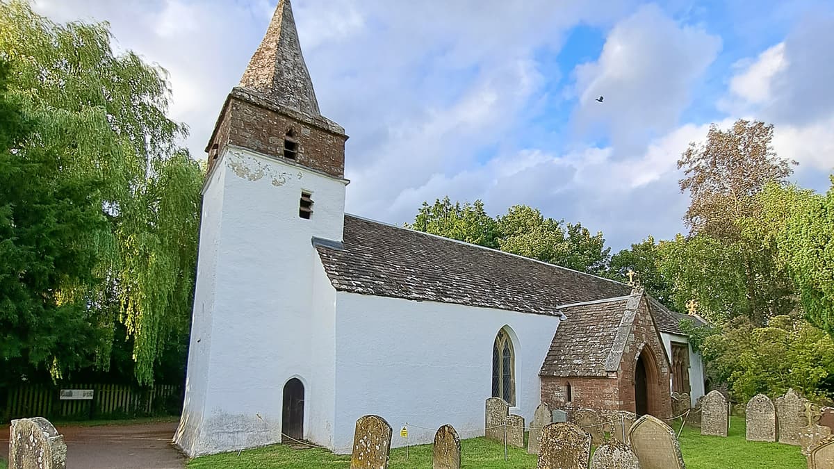
Staying on the riverside path we leave the Wyastone estate, on a path that climbs up through woodland (ignore track to right) and past another house to the right. Keep left beside the river at the end of the garden. The path now passes through woodland below the A449 as you cross into Wales again. Leave the woods through a gate and continue across the fields until reaching a waymarker sign to the right, which takes you through two gates to cross the Malley Brook and back into another field. Follow the path across two footbridges and then pass through Dixton Churchyard.
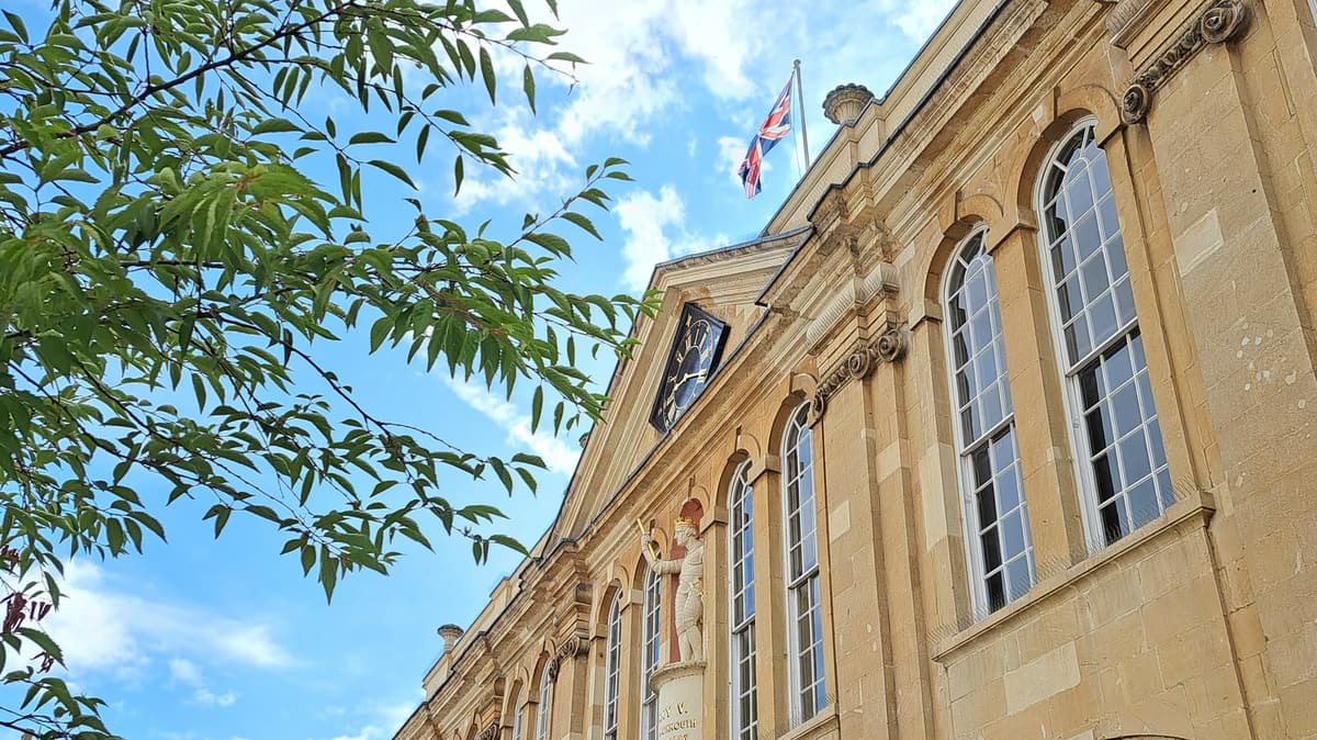
There is one more footbridge to cross before arriving at Monmouth Rowing Club. Note the flood gates on the underpass which can be closed at short notice at times of high water levels. If leaving a vehicle here check predicted water levels online ahead of your visit. This stage finishes at the Wye Bridge a little further along the riverbank. If you wish to visit Monmouth take the underpass before the traffic lights and walk into town.
Read more ...