ViewRanger helps active people across the world plan, navigate, record, and share their outdoor experiences.
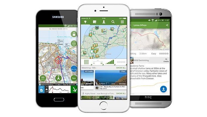
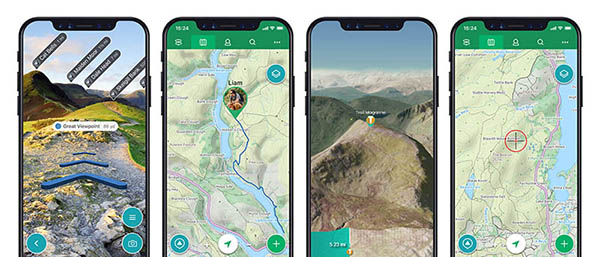
Combining high-quality mapping for over 20 different countries, active GPS waypoint navigation, national and international trail guides, and sports computer functionality, the app is designed to work in areas with no phone or data coverage. On the move and with no signal users can view maps and actively navigate trails overlaid on the map, record their tracks, and view live stats.
In areas with a data connection, the BuddyBeacon function can be used to locate friends in real-time; link photos and tweets to tracks and share these adventures via a range of platforms; plan future trips nearby or far afield by downloading routes with descriptions and photos or plot or publish their own.
ViewRanger is used and trusted by over 200 Search and Rescue teams across Europe and North America, and over 500 brands use ViewRanger to publish and promote their trail content. ViewRanger is a fully licensed partner with over 26 national mapping agencies and cartographic publishers, including Ordnance Survey, IGN, Terrain Editions, Kompass, SwissTopo, Kadaster Netherlands, and Neotreks.
The possibilities are endless: It’s an indispensable app multi-tool, companion to all outdoor experiences.
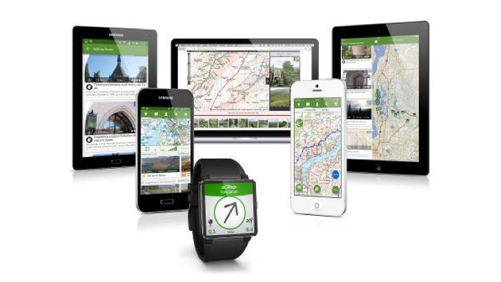
The ViewRanger app is available on smartphones, tablets, and smartwatches with Apple® iOS, Android, and Amazon Kindle Fire, along with a complementary map and route plotting on the my.viewranger website.


