Points of Interest …
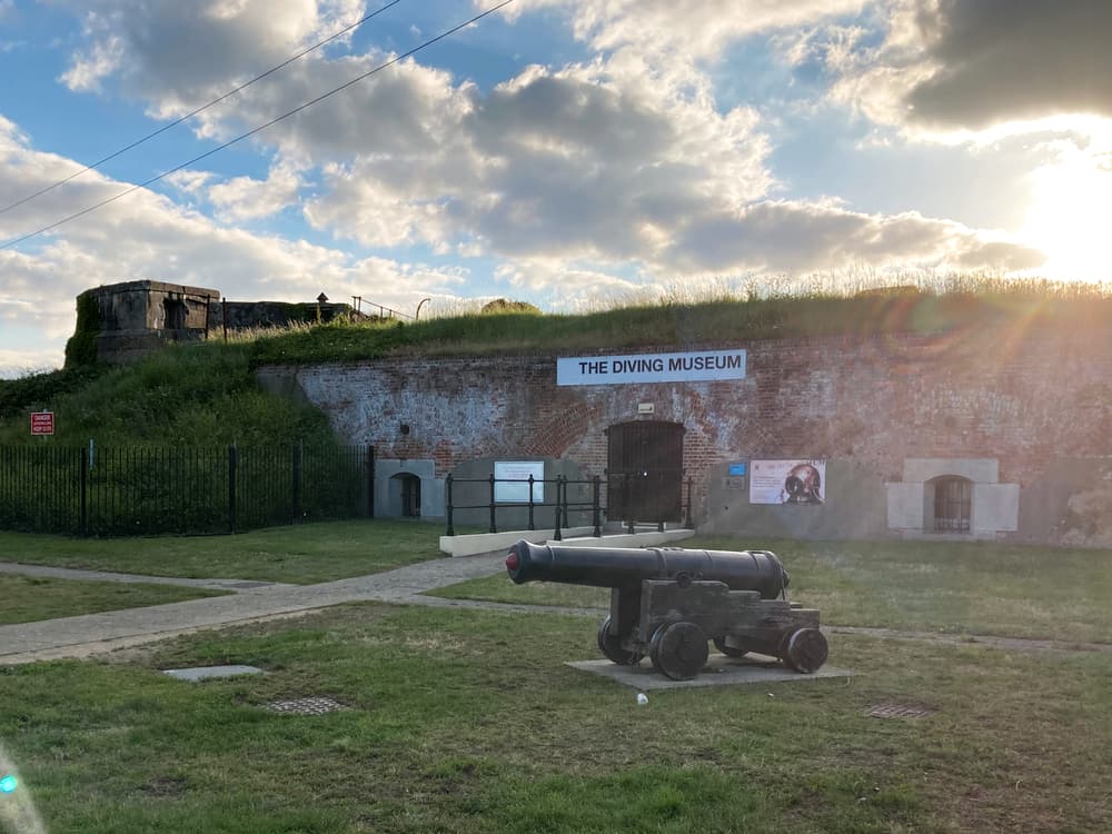
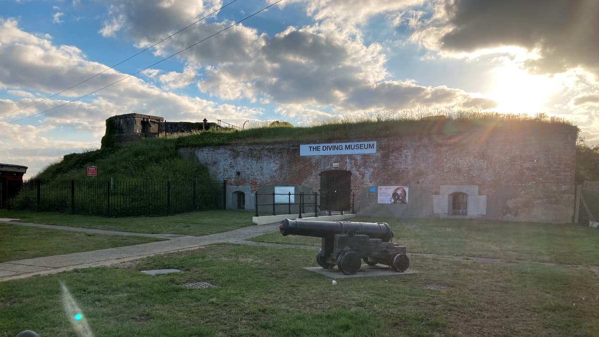
The Diving Museum here is the only museum of its kind in the UK and covers all aspects of diving from recreational to military and scientific research in diving. Run by the Historical Diving Society, which was founded in 1990, the museum was opened in 2011. The building which houses the museum is in a Victorian Military (No.2) Battery, which was built in the 1860s and forms part of what was the Stokes Bay Lines.
POI coordinates: 50.78675291238208, -1.1682874346531718
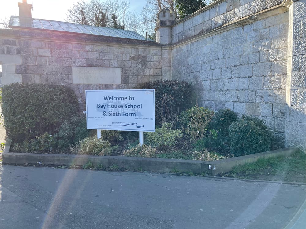
What is now Bay House School and Sixth Form, was originally built as a private residence for Alexander Baring, Lord Ashburton, in the 1830s, and was called Ashburton House. When sold in the 1860s it became a Naval Academy, which Prince Alfred (Queen Victoria’s son) attended. During World War 2, the building was used as a base for the Royal Engineers of the British Army, and following this became Gosport Grammar School in 1972.
POI coordinates: 50.78790671748642, -1.1654700455391105
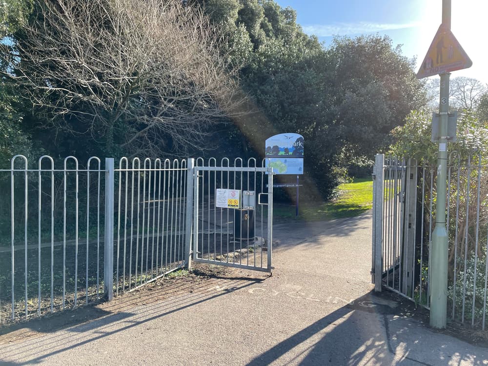
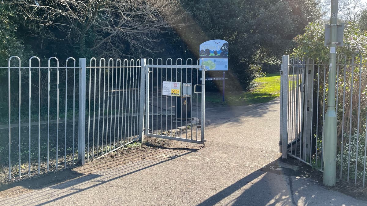
Stanley Park was part of the grounds of Bay House (Ashburton House), owned by Alexander Baring. The grounds offered a pinetum with direct access to the beach. When a descendent of Baring, Ronald Sloane-Stanley J.P offered to sell the 28 acres of land including Bay House, to Gosport Borough Council for £15,000 they accepted. In 1947, alongside the land that belonged to the Alverbank House, the park was officially opened as Stanley Park. The Park now has a walled memorial garden, pet cemetery, and the remains of ancient fortifications.
POI coordinates: 50.788333543261054, -1.1630960511747874
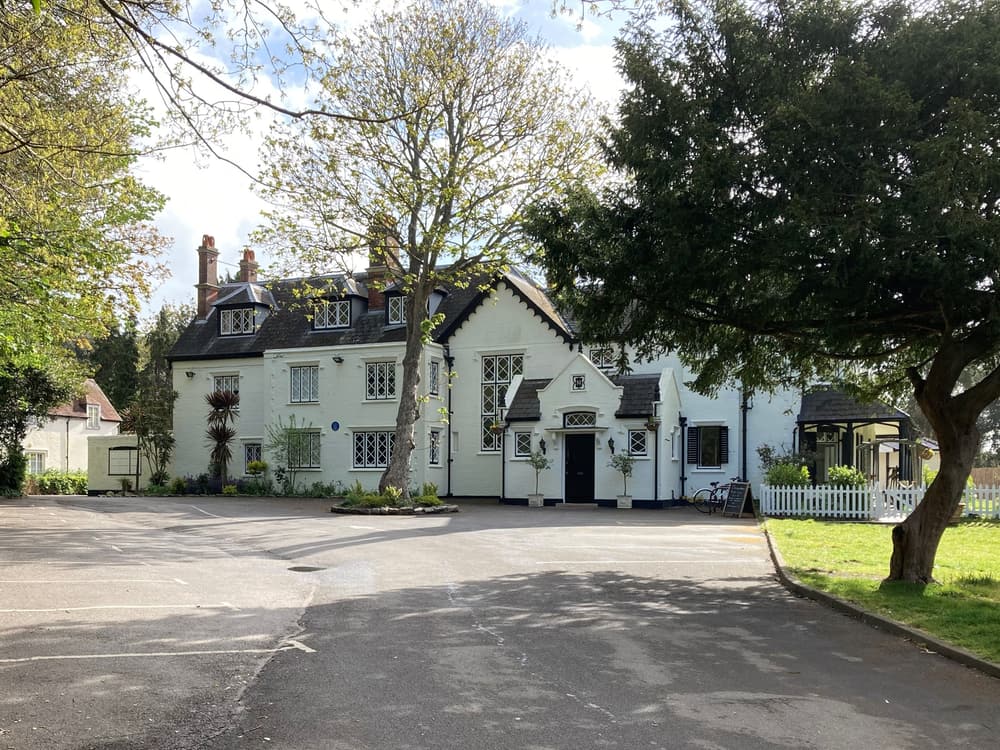
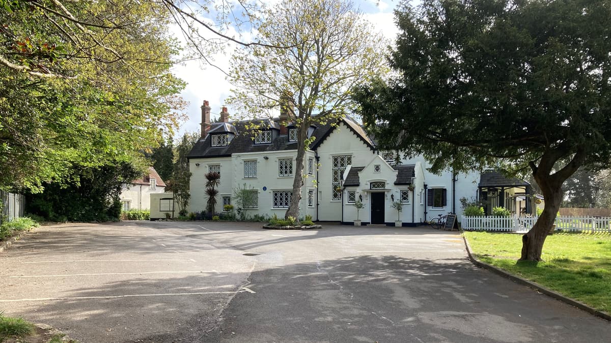
After Alexander Baring built what is now Bay House School, he encouraged his friend the Rt Hon. John Wilson Croker to purchase land alongside his own, and to build Alverbank House (Alver House) as his summer residence. He did so around 1840. Prince Albert was one of many famous visitors to this now hotel.
POI coordinates: 50.7856669209513, -1.1615094096981782
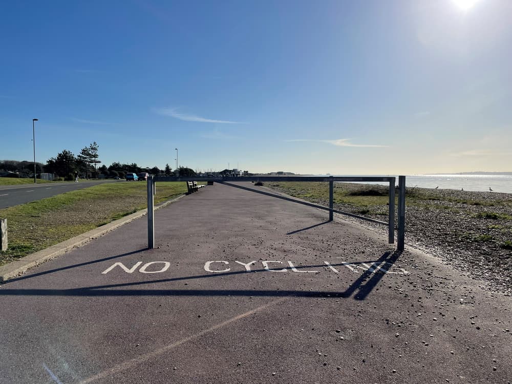
Stokes Bay has a significant history. In the 1770s, Lt Gen Monckton recommended defensive lines along Stokes Bay at various points along the bay between Fort Road and Stokes Bay Road. Fort Monckton was built at the other end of the Bay and named after him.
In the 1850s the Royal Engineers began working on a system of moats and defences along the Bay, some which still remain today including No.2 Battery (now the Diving Museum) and Fort Gilkicker. Stokes Bay had a fine shelving beach and the military recognised that it was a good place to land a large force of troops, and so needed to be protected.
POI coordinates: 50.78389723260449, -1.159164857981486
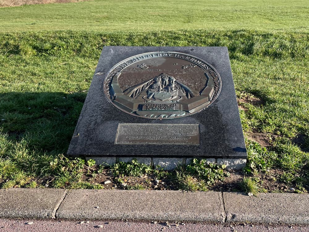
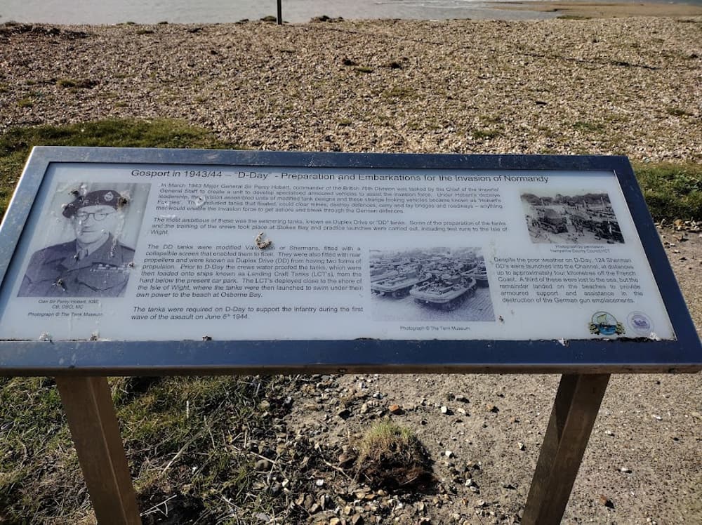
In 1942 Stokes Bay was chosen as an embarkation point for tanks and their support vehicles destined for the Normandy beaches as part of Project Overlord. Tanks, Centaurs and other Armoured Vehicles and Artillery were loaded. The whole of the Bay became a restricted area, although it is thought that locals still had some access, but binoculars and cameras were forbidden, as thousands of practice runs took place. Canadian troops also departed from here on D-Day.
Today at low tide you can still see evidence of the ‘chocolate block’ ramps used as part of the embarkation process, and parts of the military defenses such as Browndown Battery at the western end and Forts Gilkicker (ear-marked for development) and Monckton at the eastern end still remain. The current car parks along Stokes Bay Road are also the locations of the Hards that were dotted along the Bay.
POI coordinates: 50.782186515569975, -1.1551538386529843
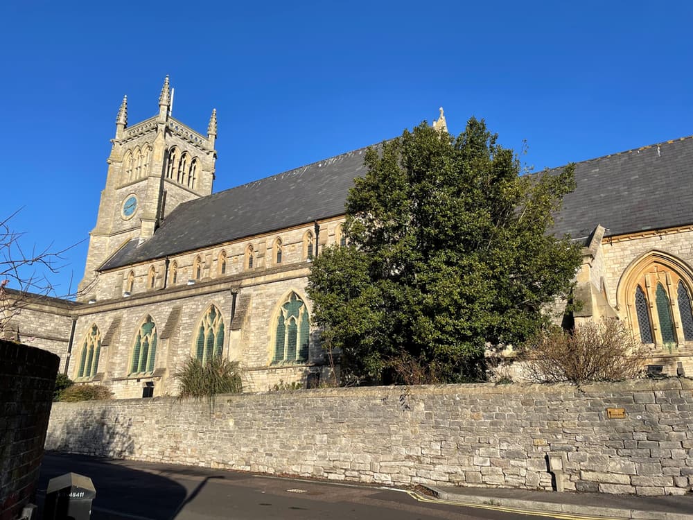
The Parish of Alverstoke was once a large agricultural area with villages of Alverstoke and Gosport. Alverstoke is named after a former Lady of the Manor: Alvara and Stoke: a settlement on the area known as the Marsh Ground. The first reference to St Mary’s Church in Alverstoke is dated 1122. The present church was built in three stages, completed in 1865, and is a great example of Victorian Gothic. It has a dominating position in the village and is still thriving, with plans to improve the Parish Centre.
POI coordinates: 550.78557430227092, -1.147720334241976
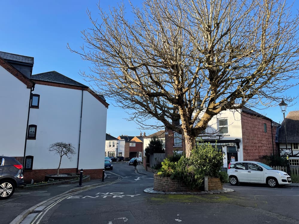
Alverstoke was among the possessions of the Old Minster or priory of St Swithun, Winchester, in Saxon times.The Bishop of the Manor held on to Alverstoke until in 1648 it was seized by the state, and sold to George Wither. It wasn’t until 1284, that Gosport (the Borough that Alverstoke now resides within) was mentioned, and only then was it known as Alverstoke with Gosport. Look for 17 Church Road and the plaque on the wall as you walk through the village- the will of Jane Holmes left a rent charge of £2 on her two tenements, to be distributed to poor widows on Christmas Eve.
POI coordinates: 50.78547216508576, -1.1489334386940548
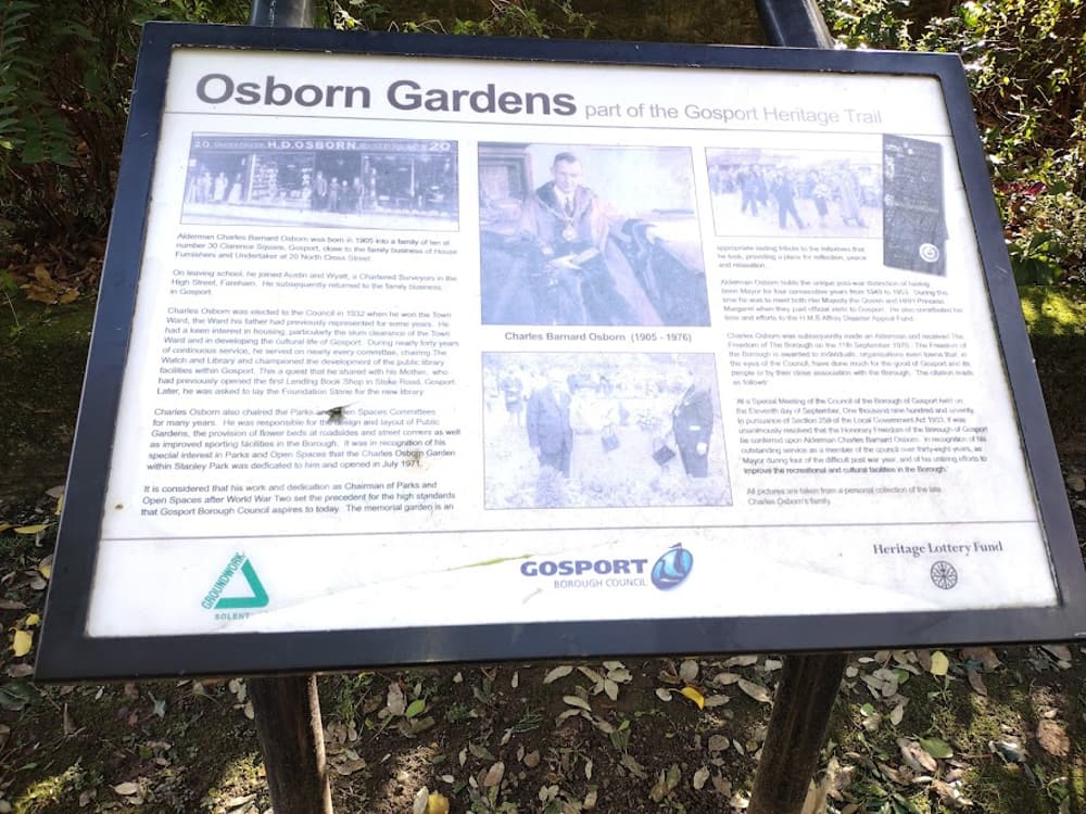
There are three entrances to Stanley Park, and this is the third. The walled gardens known as Charles Osborn Gardens, was named after a well-known local man who served four times as Mayor and was a driving force behind the development of parks and gardens in Gosport between the 1940-60s. Opened in 1971, the gardens are very much enjoyed by locals today, who may sit and listen to the sounds of the park.
POI coordinates: 50.786554988590225, -1.1611185022697537
The Diving Museum is a great place to explore and discover the history of diving both locally, and nationwide. Just behind the Diving Museum, past the gate to the left of the cafe, is also Browndown Battery, which can be explored (as long as the red flag is not flying). This area is still used as a training site. This is also where the River Alver enters the sea (look out for the green triangle sign).
POI coordinates: 50.78657951160528, -1.1688267922026563


 Nearest Train (or tube) Station(s):


