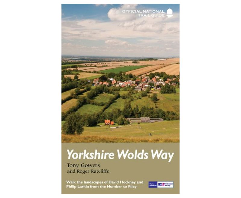
The Yorkshire Wolds Way, Tony Gowers

The Yorkshire Wolds Way, Tony Gowers
Yorkshire Wolds Way, a 127-km / 79 mile route from Hesse on the Humber Estuary to Flint, in a series of walking guides to the National Trails and other long-distance paths of Great Britain with colour extracts from the Ordnance Survey's Explorer series at 1:25,000 showing points along the route cross-referenced to the text. The maps also indicate nearby places of interest and various facilities including campsites and caravan parks, youth hostels, water points, pubs, information or visitor centres, etc. Also shown are alternative sections of the route and stretches designated as bridleways or suitable for cycling …

Description

The guides are illustrated throughout with colour photos and include an introductory section on the path and the surrounding landscape, plus a chapter of useful information including access to various locations along the route by public transport, a list of tourist information offices and principal overnight stopping places, a bibliography, etc.