Points of Interest …
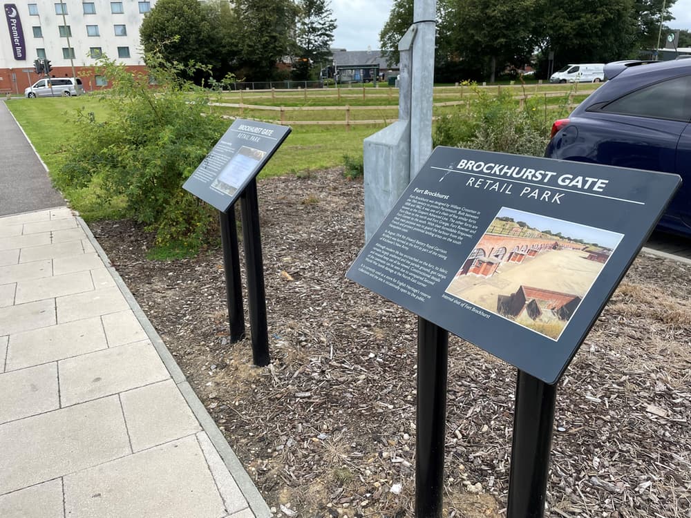
1) In the early years of WW2 a defensive Anti Tank ‘Stop Line’ was constructed around the northern side of Gosport. The wet land around the River Alver was deemed boggy enough to be an obstacle to tanks, but an anti-tank ditch was dug from St Mary’s Church in Rowner to Portsmouth Harbour. Although moved for the development of the retail park, the boulders here show part of this defence. Please take some time to read more on the interpretation boards.
2) Fort Brockhurst: Due to an invasion scare in the late 1850’s, fortifications were built in response to a report by the Royal Commision in the Defence of the United Kingdom.These fortifications represented the largest maritime defence in England. Eventually there were 70 forts and batteries built. They were known colloquially as Palmerston’s follies, due to the Prime Minister at the time.
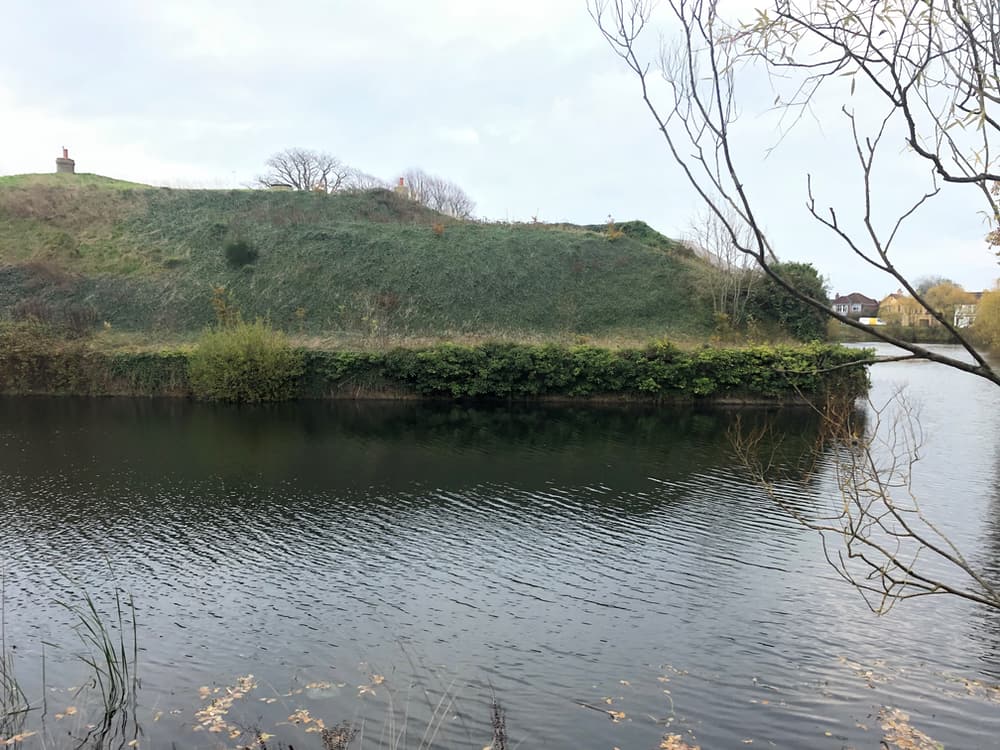
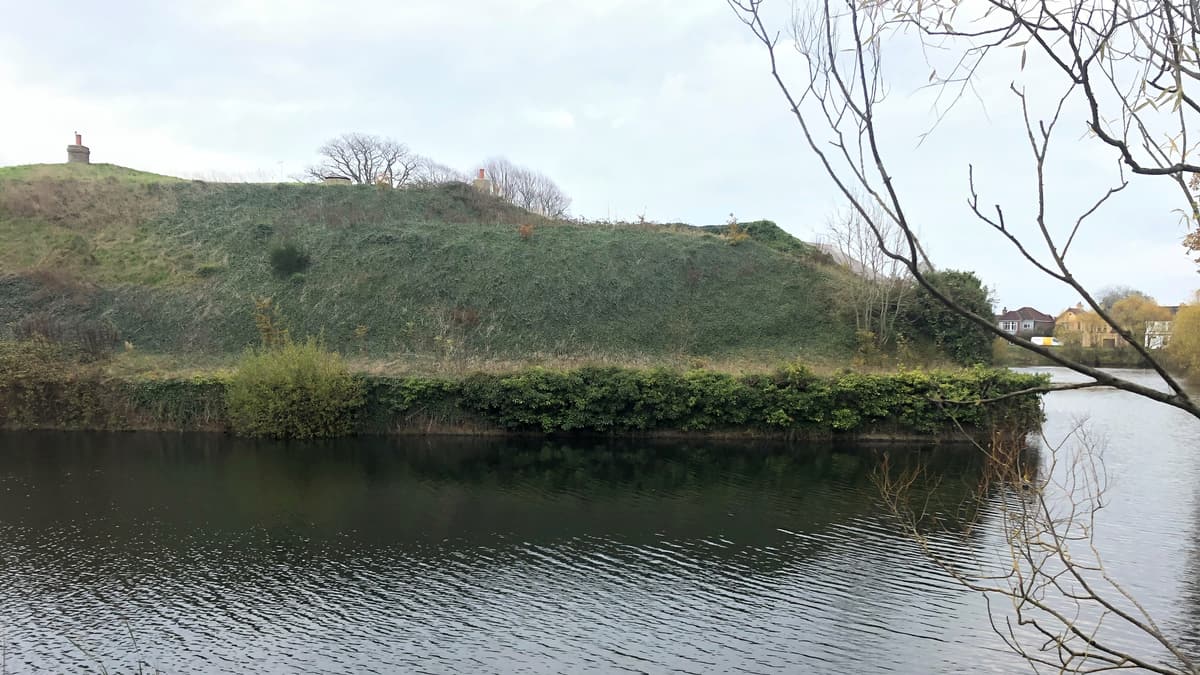
The Brockhurst fort is an example of the period with its polygonal form, which was an innovation in fortification design. It is one of five forts which made up the Gosport Advanced Line. It carried 19 heavy guns in the casements which was supported with eight guns in the shorter ramparts and a further 9 guns in the casements below, due to it being a circular keep this was armed with 20 light weapons. Both keep and main fort are surrounded by a wet moat.
3) Gosport once had a thriving railway network, with a station at Fort Brockhurst. When goods trains to & from Gosport were axed in 1969, the line was completely closed, with the exception of the Holbrook to Fareham section, which was retained for one reason, and one reason only: the Royal Navy Armaments Depots (RNAD) at Bedenham and Frater. These were joined by an extensive internal railway system which extended to Priddys Hard RNAD, the line to which passed through the public domain in Elson.
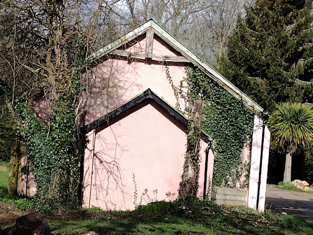
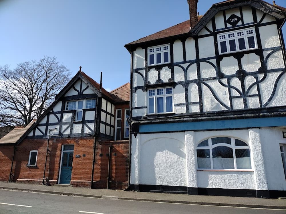
4) Built as a military isolation hospital for the sick in 1898 and extended in 1918 the building along Monks Walk was used during WW2 as a mortuary. Used today as physical activity training centre, the building still has many reports of paranormal activity!
Some have heard voices, others the sound of children laughing and running, and full bodied apparitions of soldiers and shadow figures are still witnessed to this day.
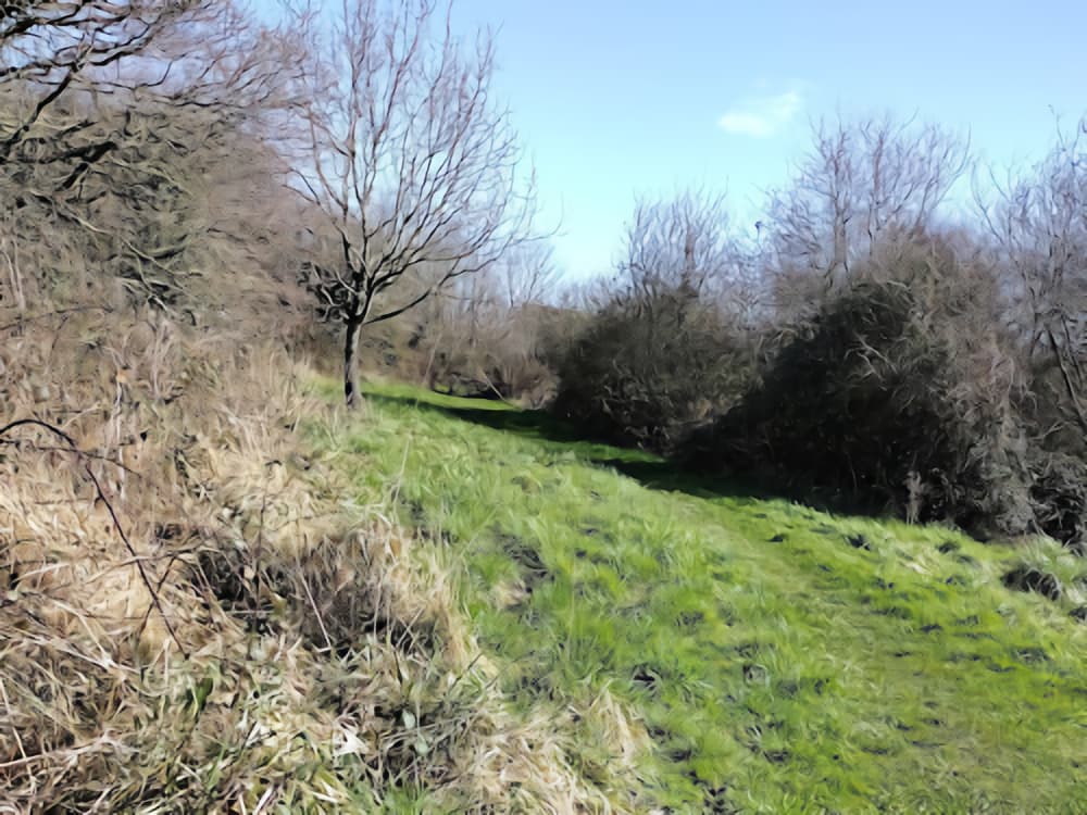
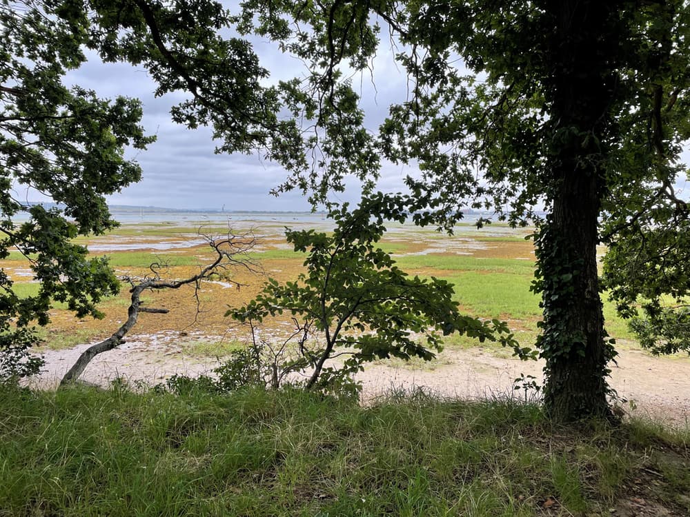
5) Consisting of two parts, Monks Wood is mainly unimproved grassland with increasing succession into oak woodland. It has great views out across Portsmouth Harbour. In winter it is an excellent place for waders. The back is made up of an old orchard with pear and apple trees which still bear fruit. The south side, across the road, has a lot of bramble scrub, fantastic for blackberry picking.
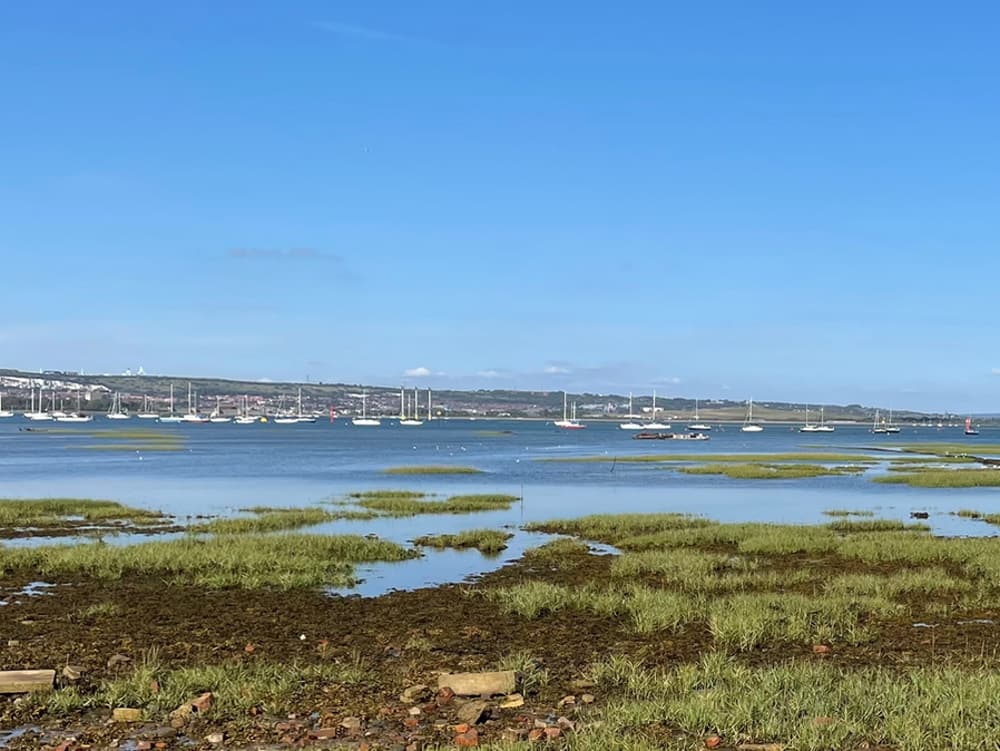
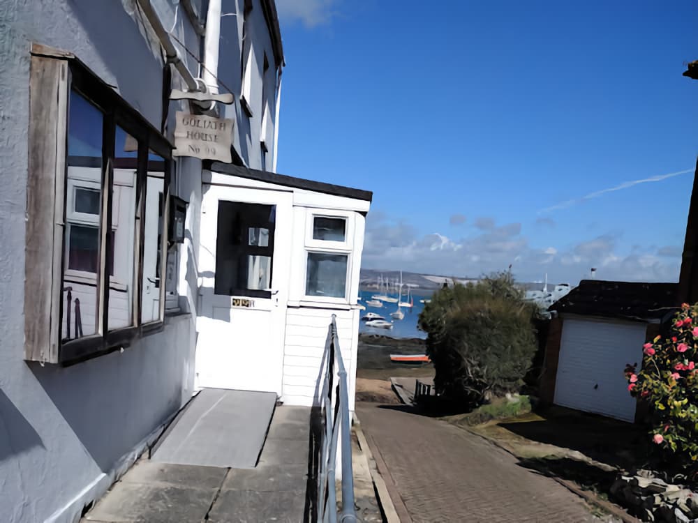
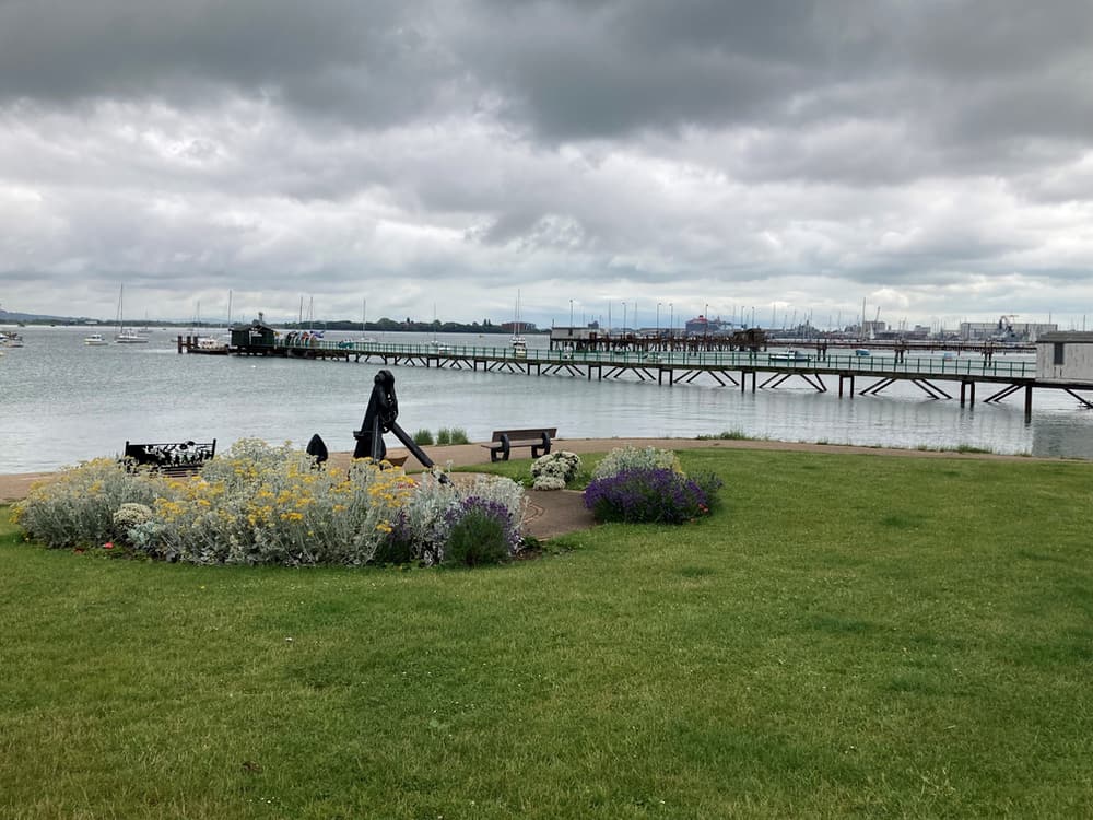
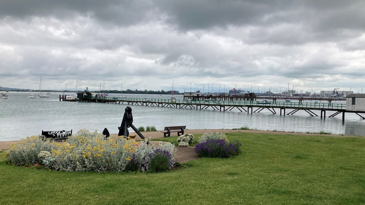
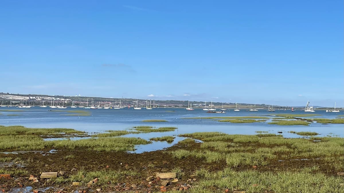
6) At the waters edge there are great views across to Portsmouth. Here you can also try to spot the shipwrecked hulks in the water. For centuries Forton Creek effectively isolated Hardway from Gosport Town Centre making it an ideal landing stage for smuggling contraband goods. Old maps indicate “hards” from which goods and passengers were loaded and unloaded. Goliath’s, Lower and Convicts Hard were busy places in the 18th century. The latter two have been replaced with piers, but unfortunate convicts bound for transportation ships in the harbour would have been all too familiar with Convicts Hard.
7) In the two world wars the waters and foreshore of Hardway were heavily utilised for refueling and repairs to naval ships. Moby House, formerly the Old White Heather Public House, became Gosport’s Air Sea rescue base in 1942. In the autumn of 1943 work began on the beach hardening process in preparation for the D-Day embarkations. Moby house was used in 1944 as the control station for all D-Day activities in the area. It is known that between June and November 1944 there were at least 750 embarkations of landing ships, tanks, and British and Canadian service personnel, together with 750,000 tons of materials as part of Operation Overlord.
8) The Hardway ramp, which can still be seen via the ‘chocolate blocks’ served to embark British and Canadian regiments. At a ceremony held close to the ramp on the 50th anniversary of D-Day, the Canadian High Commissioner donated a plaque expressing appreciation for the kindness of Hardway residents to the embarking Canadian troops. Take a minute to read the interpretation board here to find out more about this period and the ties built between Hardway and Canada..
9) Hardway is an ancient village with its origins dating back to the Roman conquest. Historical evidence points to a connection with Portchester Castle and trade between the villagers and occupying Romans. The village, originally known as WIDHAY, grew around St Swithin’s Priory Manor farm.
In the early 1770s, a Powder Magazine was built at Priddy’s Hard on land leased from Jane Priddy, due to residents of Old Portsmouth petitioning King George III, requesting the removal of the Powder Magazine in Square Tower to a less densely populated area. It grew in size and importance over the next 150 years and became one of the country’s main armament supply depots. As Priddy’s Hard developed, so did Hardway village. The thriving community included some fine Georgian and Victorian houses in Priory Road with its distinctive row of poplar trees. Chapel Street and Bucklers Road still retain the essence of the old fishing village, and although considerable development has taken place since WW2, a sense of the past still exists.
10) In 1912 a railway system at Bedenham & Frater was constructed to the line at Holbrook. Two years later an extension to Priddy’s Hard was built which went through Elson and Hardway. The section between the end of Ham Lane and Quay Lane (Priddy’s Hard level crossing gates) is now occupied by Heritage Way.
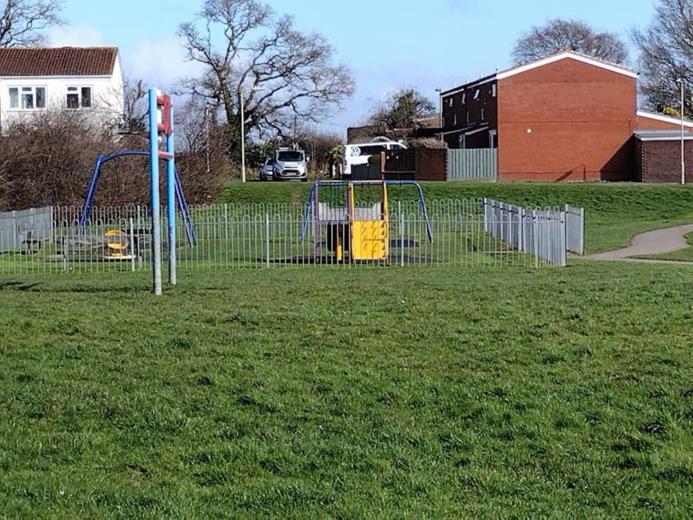
11) Ham Lane recreation ground was once the site of an Isolation Hospital and later Blakes Maternity Hospital. It then became accommodation for young, homeless people but was knocked down in the 1990s to make way for housing.
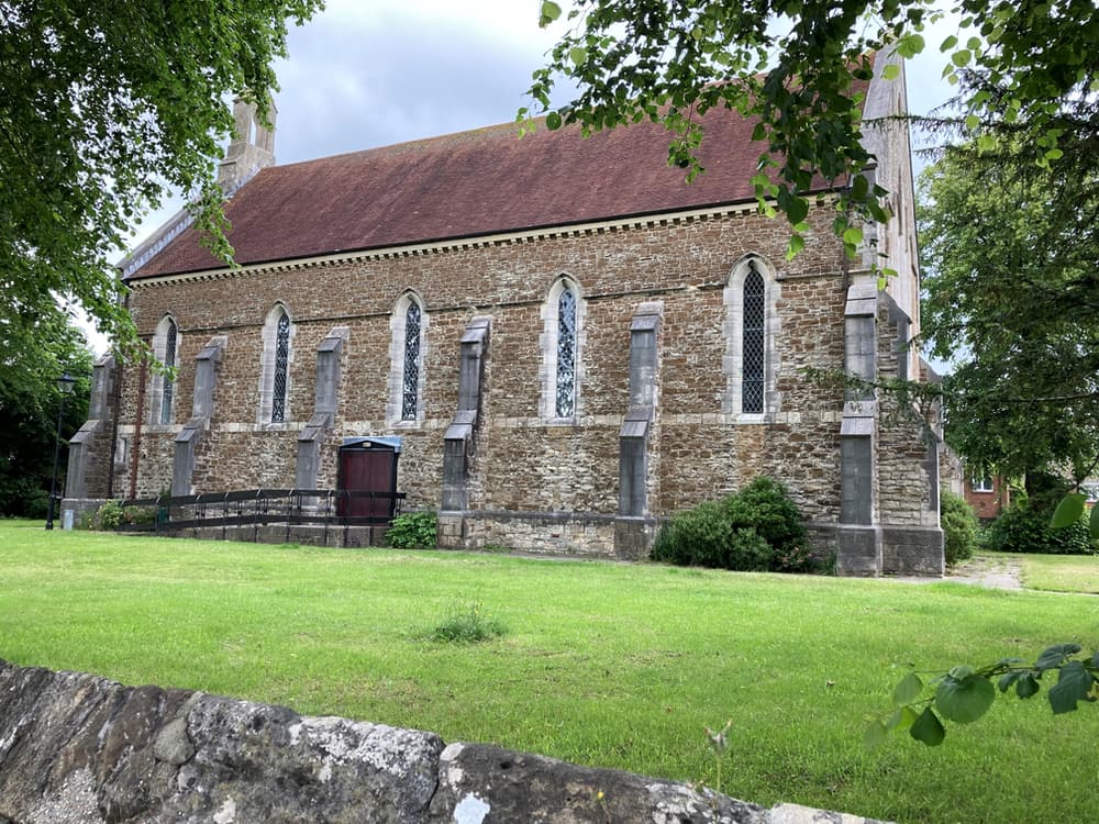
12) St Thomas’ Church was built circa 1845. A simple aisle-less rectangle of 5 bays in an Early Gothic style. The steep tile roof was built with a western bell turret.
13) Fort Brockhurst today…The fort is currently closed until further notice but is usually open 11am to 3pm on the second Saturday of the month from May until September. If you are able to visit when it reopens then you will find it remains largely unaltered with the parade ground, gun ramps, moated keep, washrooms and armoury all able to be viewed.
As you walk around the moat, you will see plenty of places for fishing, and you might even spot the resident swan, ducks, heron and coots. Some have also spotted Kingfishers and terrapins sunbathing.
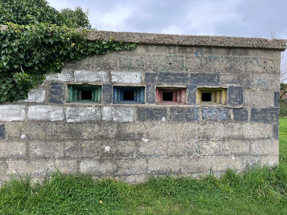
14) In the early part of the WW2 the defense stop line was constructed from Portsmouth Harbour to St Marys Church in Rowner. Fort Brockhurst Pill Boxes gave support and fire at key points. Constructed in concrete, this remaining pill box is 3 feet square and 2 foot 6 inches above ground. It didn’t take long after construction to realise the pill boxes were considered poor defence against tanks. This is one that survives to this day.

 Nearest Train (or tube) Station(s):


