Click to zoom …
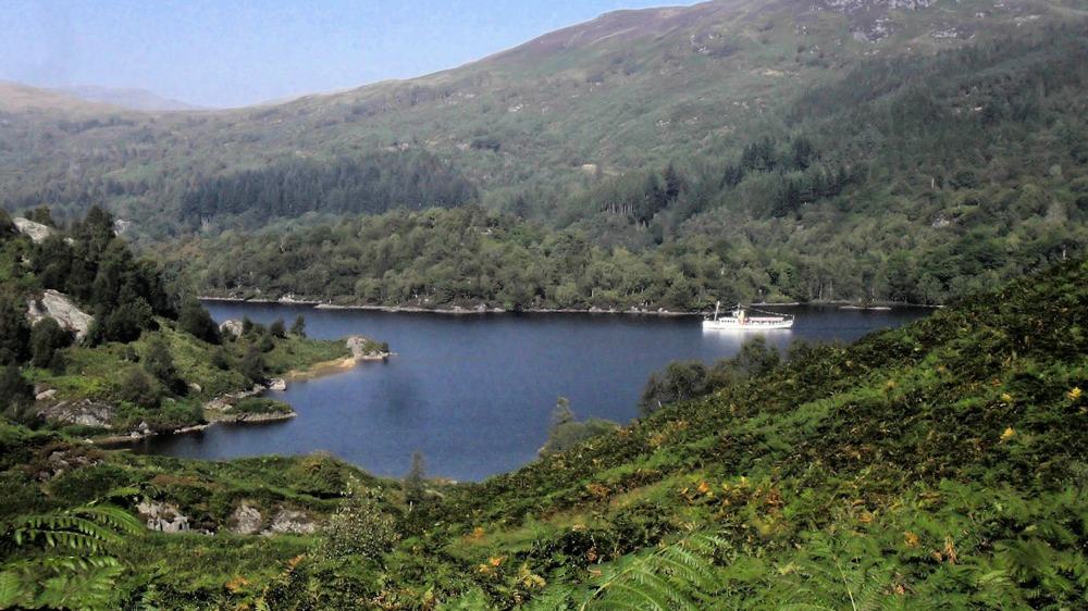
A walk which starts and finishes on the Loch Katrine road but which also includes good forestry tracks with excellent views along the length of the loch.
WALK INSTRUCTIONS
From the car park, go through the barrier between the ticket kiosk and the cafe and follow the road along the north shore of the loch.
In about 1.8Km (just under half an hour) you will see two wooden barriers with a green waypost on the right hand side of the road at Point 1 (NN492087).
There’s a small burn in about 100m where you should turn right and follow the path uphill (you’ll see powerlines overhead)
In another 500m , you’ll join a track at Point 2 2 NN493089.*
Keep to the left and continue along the hillside for about 400m to a fork at Point 3 (NN491091).
Turn right and head up in the hill. In about 800m , there’s a minor path on the right but continue on following the green waypost signs.
In about 1.3 Km , the track comes to an end at the wooden barriers. (Point 4 NN478106) Go through the gates and down the path for 700 m until you come to the next set of gates and a track (NN476103).
Turn right through the gate and in about 100m, you’ll cross a small burn. You’ll reach Point 5 (NN475104) in around 100 m when you should turn left onto a path (slightly hidden and signposted green). You’ll soon reach Loch Katrine road just west of Brenachoile Lodge. Turn left and follow the road back to the carpark (Point 1)
 Nearest Train (or tube) Station(s)
Stirling, Glasgow

