Powered by Outdooractive.
Walk Details
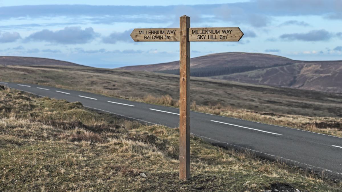
At just 10 miles wide and 40 miles long, the Isle of Man packs a punch when it comes to walking. This way-marked Millenium Way trail takes you on a 28 mile walk through the backbone of the island.
It’s a point to point route which you could either push through and do in a day – or take your time and spread it over a weekend perhaps to savour the views and countryside on offer.
This is an ancient route that was once known as Via Regia, the Royal Way – it’s the path the former Kings of Man would have travelled from Ramsey to Castletown and was recorded in the 13th century Chronicles of the Kings of Mann and the Isles.
Starting in the north east, the trail meanders through some lovely mixed woodland before heading into open heather moorland on the slopes of Snaefell (the highest peak on the Isle of Man) before descending down towards Crosby and the lowland paths of the banks of the Silverburn river through Ballasalla to the mediaeval Castle Rushen in Castletown – what was once the ancient capital of the island.
 Nearest Train (or tube) Station(s):
Douglas
Read the Countryside Code before venturing out
Make sure to take a map and compass, and know how to use them before going into our National Parks #BeAdventureSmart
Tips for New Walkers: click here to download (PDF).
Remember to prepare properly before heading out on any type of walk or outdoor activity. Tell people where you are going and what time you are expected back. As Wainwright says "There's no such thing as bad weather, only unsuitable clothing".


