Pulborough WildArt Trail is a 4km interactive trail between Pulborough RSPB Wild Brooks and Pulborough Station. It pass through the flood plains of the Arun valley following part of the river, then goes through the town and up to the station. The trail is great fun for families as it is fairly easy going and is made up of sculptures & signposts that feature local history and wildlife.
To complement the walk an app from the ‘Discover Horsham District’ website can be downloaded. There are two parts to the app, one giving lots of information and an augmented reality version for the children and bigger kids alike, use the App at each sign post and the Pulborough Giant will give you an informative guided tour and then quiz you at the end.
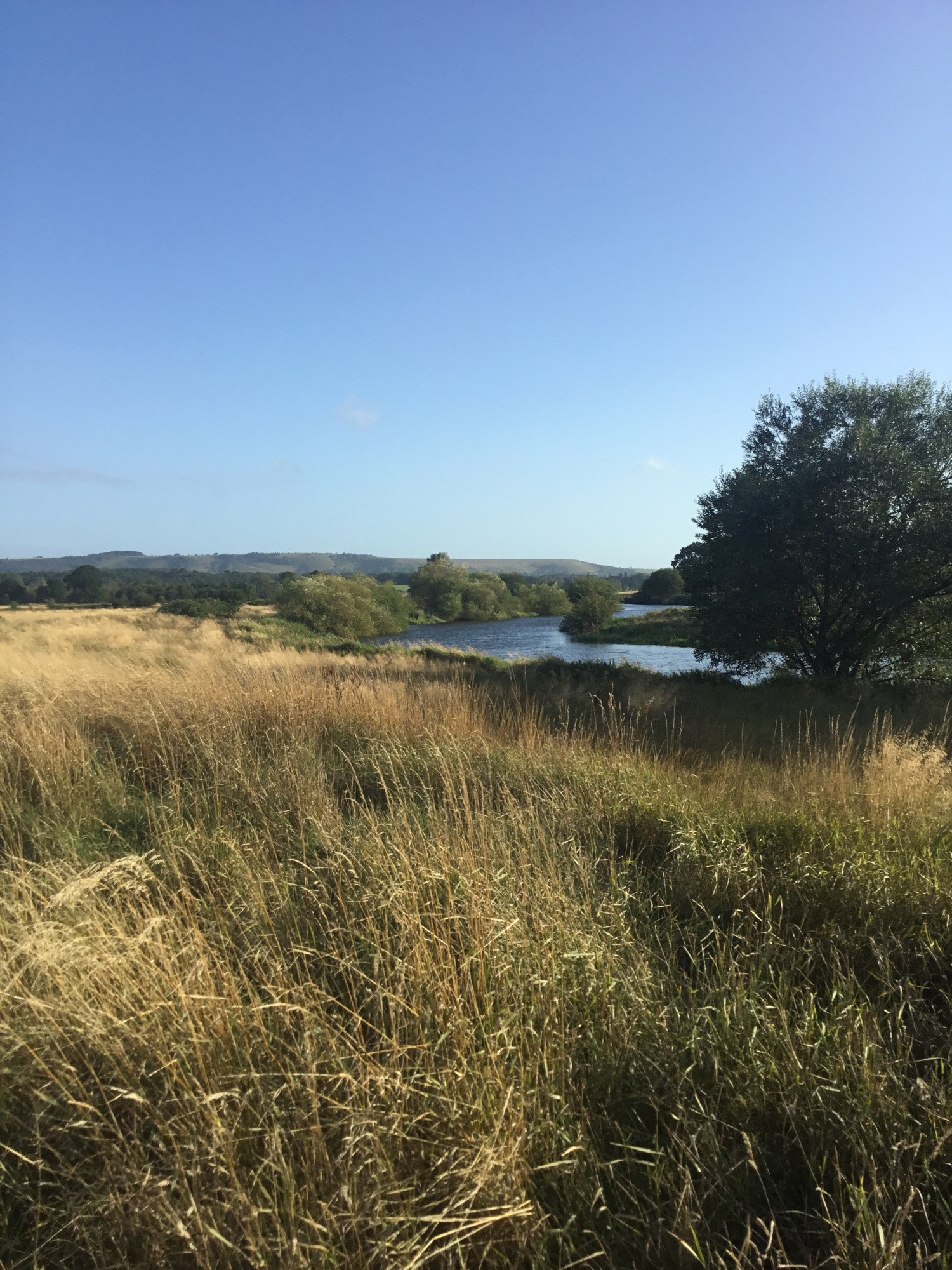
The route is well signposted and is easy to follow. If travelling by train the trail can be started at the station or if driving then park up at the other end by the RSPB centre at Pulborough Brooks where there are plenty of spaces. It is worth allowing time to visit the shop, cafe and nature reserve before or after the walk. The RSPB nature reserve covers 256 ha. of wet grassland, woodland, hedgerows, meadow and heath. The reserve is declared a special conservation area that protects the populations of resident and migrating wildfowl along with the specialist plants and invertebrates that can be found in the ditches. From the RSPB centre car park the path heads north to the hamlet of Wiggonholt which consists of a farm, house and church. The tiny 12th Century church of unknown dedication is built of rubble and remains largely unchanged, it overlooks the brooks and its secluded rural location makes it a lovely church. Keep a close look out for the first sign here then head across the fields to meet up with the River Arun. The river at this point flows much slower and the tranquil environment makes it extremely popular with kayakers and paddle-boarders.
The trail follows the raised bank along the river edge and giving the best opportunities to spot wildfowl both on the river and in the brooks. A Roman Road called the Greensand Way runs right across this part of the Arun Valley, it would have linked Lewes in East Sussex to the Roman Station at Hardham on Stane Street. Although the road is not visible, its route has been traced to just north of Wiggonholt at Lickfold where the remains of a Roman Bath House have also been identified.
The trail leaves the low lying brooks and enters Pulborough via Barn House Lane an older part of the town with many listed buildings. It then follows Lower Street and heads uphill across fields to Old Rectory Lane where the listed 18th century Chequers Hotel is situated at the junction of the main A29. On crossing this road you will be crossing Stane Street, the modern name for the 56 miles of roman road that in 70AD linked Chichester to London Bridge. The 12th Century St Mary’s Church that stands on a low ridge above the River Arun is on the left as you enter Church Place, although a Norman church the tower and Nave were built much later in the 15th Century, which may explain why they appear to be slightly off centre.
Continue along Church Place and the last WildArt trail sign can be found at the railway bridge. From here you can either take the path to the station and return to the start by Compass bus number 100 (Mon – Sat) or retrace your steps back to the town centre, but rather than following the exact route back i recommend continuing on lower street and taking the path at the most eastern edge of the brooks heading back to the start. Please note that parts of the Brooks can flood during periods of heavy rain, however the trail would still be accessible in the village of Pulborough and at the RSPB nature reserve.