THE ONLY MULTI USE ROUTE IN SCOTLAND
“In an age where many of us feel the world crowds in upon us and where we understand better what keeps us healthy in mind and body, the open spaces of the world assume a new importance. One of the most beautiful spaces in the Northern hemisphere and located in a temperate zone is the North coast of Scotland. The coast offers many ways to promote human wellbeing and to serve as a safety valve for the pressures of society. Among those ways is simply that of affording access for walkers. Under guidance, walkers may learn how enjoyment of the land is to be shared with farmers, crofters, field sportsmen, birds and plants.
The project founders work closely with landowners, public bodies and heritage societies progressively to open up the Northern coast to walkers, horse riders and cyclists. It still aims to set up for Scotland a coastal multi use route (the only one in Scotland) matching that which the National Trust has set up in England and Wales. It aims to designate safe paths, to design decent access to them and to protect the permanent activities on the land from the depredations of the transient visitor. Already small stretches of the coast are open, such as at Dunnet Head and John o Groats. The aim is to learn from these pioneer models, to multiply them and to promote safe transport connections between them.
All this will certainly boost the economy of coastal communities. The increase in understanding between visitors and residents could be one of the happiest outcomes of the project. A common interest in securing a sustainable way of life will be a source of hope for us all.“
These are the words of a very wise landowner at Dunnet Head.
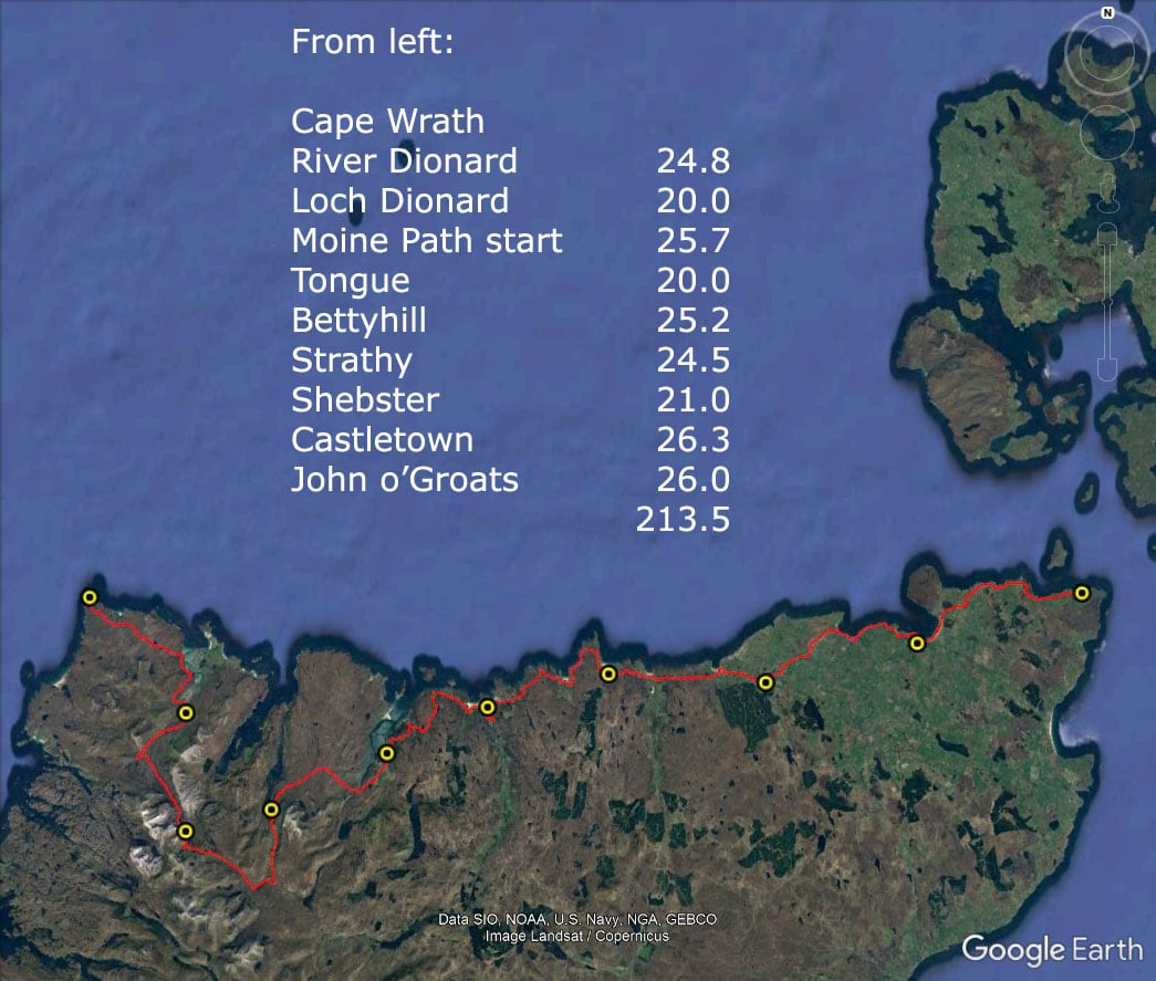
Caithness is the north east corner of Scotland. Dunnet Head is the most northerly point, further north than Moscow. The county is bordered on both sides by Sutherland. To the south lies Inverness, 110 miles away. To the west lie Tongue and Durness. If you don’t want to stick to the coast, and geologists tell us they would prefer not to, however beautiful it is, cut off on to the Moine Path at Kinloch at the head of the Kyle of Tongue and it exits out at the head of Loch Hope/Cashel Dhu. A’ Mhoine is almost 15,000 acres of blanket bog, one of the final wildernesses of Europe.
What is planned to be the only multi use route in Scotland, the North Highland Way has heritage and cultural links through the gateway to the North Highland Way and the route of the Spanish Armada, as far north as Westray and the Fair Isles. It is also a fabulous place to visit, walk and enjoy the pristine environment. Not only will you see the most amazing wildlife, cetaceans, flora and fauna, you will see renewable energy installations like nowhere else on earth all tucked up nicely with the archaeology and history.
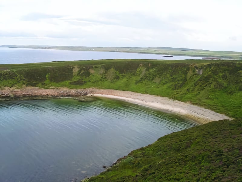
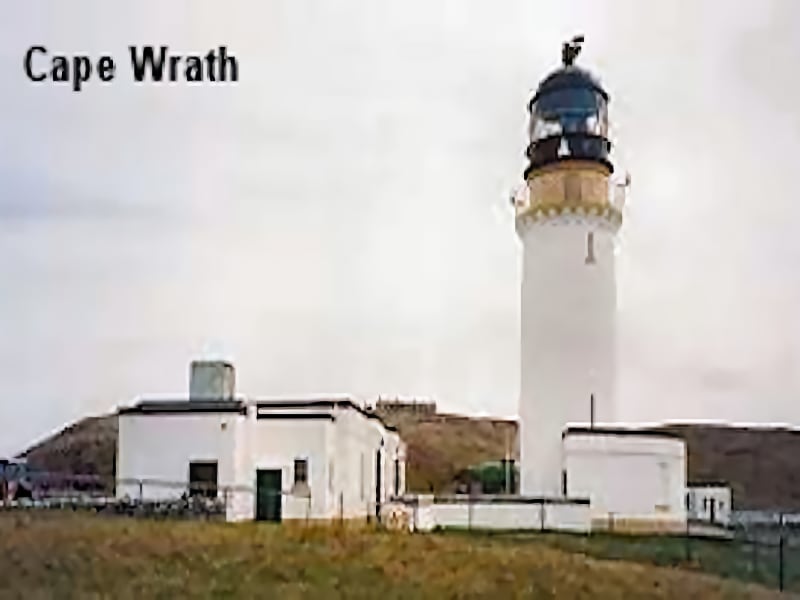
The North Highland Way is designed to link up with the Cape Wrath Trail (CWT) in the west which was officially opened in January 2013, to make the Scottish Coastal Trail. The full length of the route from Duncansby Head to Cape Wrath is 116 miles by road and 150 miles round the coast and goes through some of the most spectacular countryside in Scotland, if not in the world.
Whether you are a Rambler or a Long Distance Walker, the North Highland Way has something for everyone. There are in fact two routes to choose from, the coastal route and the one over the A’Mhoine path, which avoids a lot of road walking around Loch Eriboll. There is a ferry across the head of the Loch, but if you want to leave the coast, you can do so. Either way, the walk can be completed in different ways, with a route by road and a route along paths and wild walking usually done in thirteen stages, though it can be done in ten.
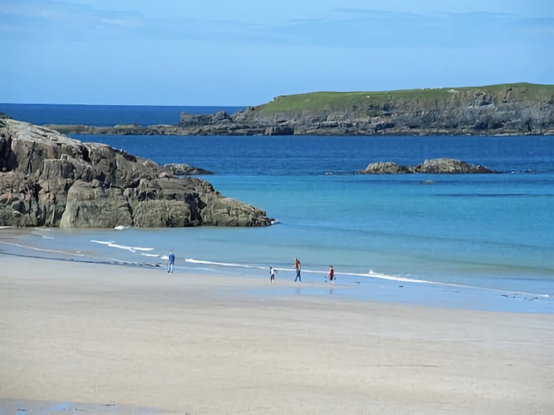
A few words from a geologist:
“Don’t worry yet about what the different coloured areas are! Concentrate instead on the shapes and the orientations of those areas. There are clear differences, aren’t there? The areas in the western part of the region are elongated in an approximately SSW-to-NNE direction; the areas in the central and eastern parts of the region are rounded in outline and have no preferred orientation. The geologist would say that there is a pronounced structural grain in the western part of the region; in the central and eastern parts there is none.
What does that mean when you’re planning a route, in particular a west-to-east route? Simple! It means that the strategy you use to plan the western part will needs be greatly different to the strategy you use for the central and eastern parts. The route in the western part must cut diametrically across that structural grain; the route in the central and eastern parts will have other things to worry about.” Variety is the spice of life, and some people are not interested in routes where all of the days are more-or-less the same. So if you want a walk that will keep you wet-footed in the wilderness for a week, or one that will take you day after day along even the most breathtaking of cliff tops, or one that will let you see no other person from beginning to end, this route is for you.”
This route would be nine legs, each being roughly 20-25 km long. There is there no substantial climbing involved, and very little road walking, although there is an irreducible minimum involved of course. There are a few wet patches, so suitable footwear will be necessary.
There are two “spurs” planned. A description of the spur from the coast is included in the my book “Elements of the Environment – Peat”. The second is out to the village of Halkirk, calling at Geise Farm en route.
Whether you want easy, flat forest walking or hills along the coast or whether you want the rugged wildness of A’Mhoine, the route has something for everyone. It is very remote in various areas so please bear in mind that you may not have a mobile phone signal for long periods of time and distance.
Enjoy… whichever mode of sustainable transport you decide to take. Follow the Code.

Walking: Friends of the North Highland Way
Cycling: Cycling in the Straths
Horse riding: Contact the Caithness Riding Club or the Caithness Pony Club
Getting around: The Durness Bus serves the north coast. It is wise to book. Baggage transfers can usually be agreed between the accommodation providers until the route is well established.
