‘Ah, glad you asked. The Whin Sill consists of plagioclase feldspar (An88 to An25); ulvöspinel solid solution with ilmenite lamellae; and micropegmatic intergrowths of quartz and alkali feldspar.’
Um … yes. OK, thanks. Think I’ll just slip away and have a go at quantum mechanics instead.
The trouble with geology … but that’s not really fair. Geology is what it is, a subject totally absorbing to the geologist, but utterly baffling to the uninitiated – i.e. 99% of us. I began exploring and writing about these islands forty years ago, and right away became fascinated with what lies under the ground. Creamy limestone of the Cotswolds, rough gritstone of the Dark Peak, ancient stripy gneiss of the Isle of Lewis, muddy clay of the Essex marshes – they shape our buildings, our work and play, the landscapes we love or hate, the story of who we are.
I wanted so much to understand this secret country of rocks that lay tucked away beneath the fields and woods. But geology seemed locked away out of reach behind iron doors of jargon.
Then I stumbled across a page ripped from a child’s school atlas, a multicoloured geological map of the British Isles. Beguiled by the swirling sky blues and lime greens and fierce reds that depicted limestone and chalk and volcanic rock, I saw there was a remarkable story here if I could just tease it out.
The website of the British Geological Survey, www.bgs.ac.uk, laid things out more simply than I’d have thought possible. Its online map, the Geology Viewer, showed every variation and location of rock types, in zoomable form and brilliant hues. As I studied it, a fantastic story began to emerge from among the shapes and colours – an island chain born in fire and fury when the world was still coming into being, a crust of rock torn apart, exploded, drowned, punched up miles into the air, ground down and scoured by behemoths of ice. Life emerged, crept from sea to land, died in huge mass extinctions, bounced back, was decimated once more. All the chapters of this saga lay stamped and pressed and baked into the bones of Britain, the rocks that gave it shape and continuity. And the tale of Johnny-come-lately, homo sapiens, could be read there too, sometimes sorry, sometimes splendid, as he left his scratches in the uppermost layer of these very ancient foundations, and now stamps his mark on the air, too, the seas and winds and forests and rivers.
The paper version of the BGS map came in two huge sheets. I stuck them on my wall and traced all the walks I’d done and all those I longed to do. A straggly trail took shape, a thousand miles long. It snaked right down the country from the oldest rocks in the Isle of Lewis at the outermost edge of the Hebrides (hard, stripy gneiss, a mind-blowing three billion years old) to the youngest, soft silty clay still in the act of being formed on the moody Essex coast.
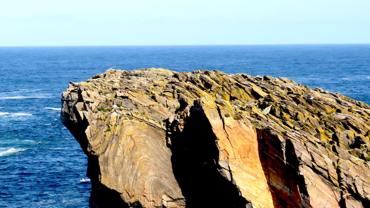
Setting off at last from the Butt of Lewis to trace the whole route end to end, I trod on magic everywhere I travelled. The unbelievably ancient gneiss of Lewis gave way to Skye and a purple curtain of basalt, vomited from the seabed ‘only’ 60 million years ago and left hanging from the spine of the island. Red rocks boiled and spattered like pancake batter, where an asteroid slammed into what’s now the northwest coast of Scotland a thousand million years ago. Rocks striped yellow, pink and grey like a cad’s blazer in the remote Highlands; rocks of dark volcanic ash and glass overhanging the ominous Pass of Glencoe. And all the time the aeons unspooling, getting nearer and nearer to our own time.
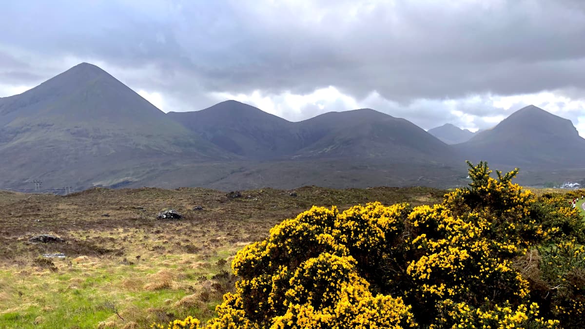
Down in England things got less fiery, but just as gripping. Walking the iron-grey rock tsunami of the Whin Sill on Hadrian’s Wall and among the beautiful arctic-alpine flowers of Upper Teesdale, it didn’t seem to matter if I was looking at plagioclase feldspar and ilmenite lamellae, or simply a giant step in the landscape over which rivers roared in spate. The gently rolling pastures and cornfields of the east Midlands lacked the sheer scale and drama of landscapes further north, but they spoke vividly of the towering glaciers that once erased the hills and spread gravel and clay like butter on toast.
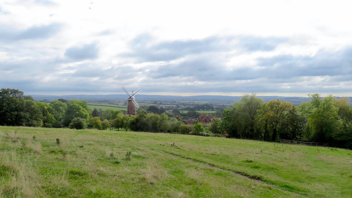
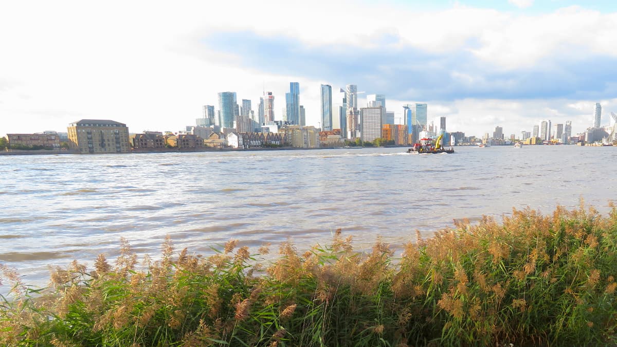
My thousand-mile adventure approached its conclusion with a boat ride on the River Thames through London. Here geology jumped bang up to date, catapulting me into the present Anthropocene era where man has begun to dominate earth, sky and sea. Sewage spills and storm damage, barges smuggling away the city’s rubbish, vaunting towers of glass among the clouds, flood defences against a rising sea.
I needed an antidote to this angsty darkness, a more hopeful end to the long and magical journey, and I found it in Wallasea Island, out on the remotest corner of the Essex coast. Here man and nature have worked together to create a new geology. The old flood walls have been broken to admit the tides and form new mud flats and salt marshes. New walls are shaped to mitigate the force of the sea. The chemically farmed crops that once filled the island are gone, and in their place lie grazing marshes and bird-friendly lagoons, fashioned out of London clay excavated from the tunnels of the capital’s new Crossrail rapid transit line.
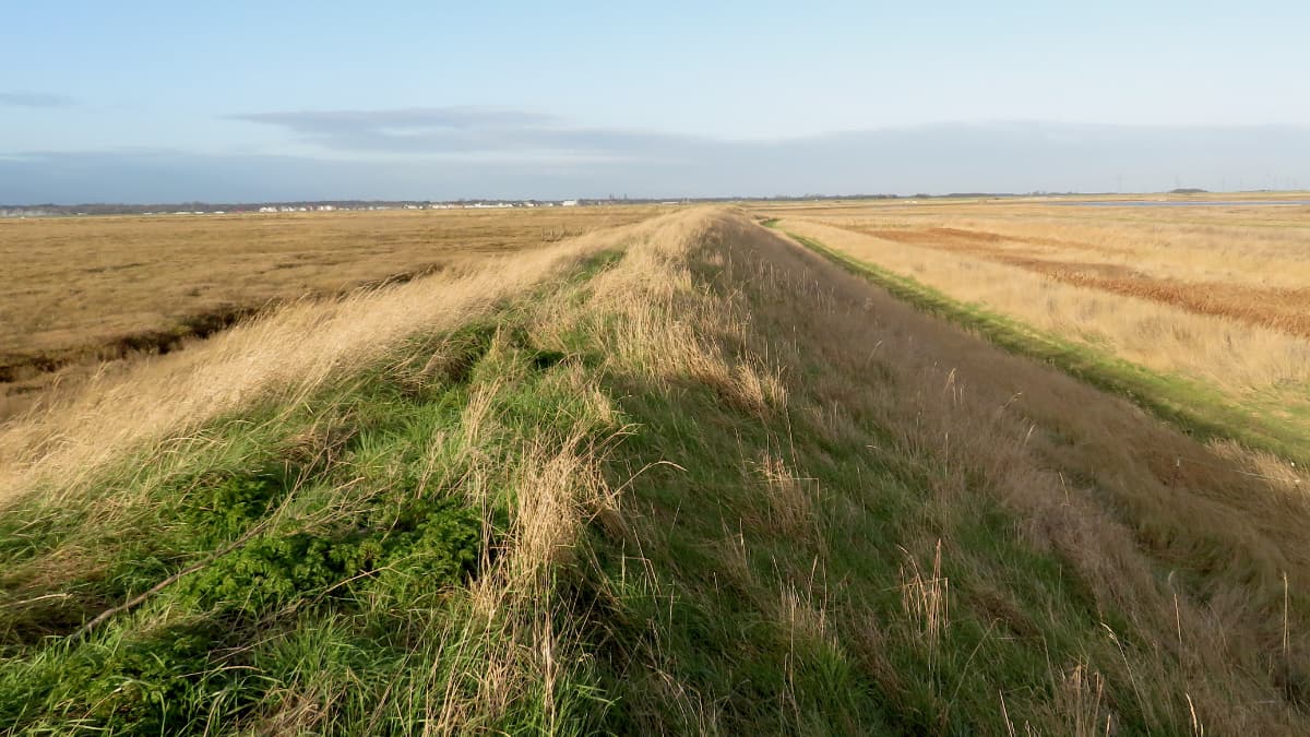
On Wallasea’s seawall under a sky packed with clamorous seabirds, I got the school atlas map out of my backpack and traced my journey through the bones of Britain. It still looked as magical as when I’d first imagined it, but now it was sprinkled with a spice of understanding. Past and present shook hands with the future here, all the way down three billion years from the ancient molten world to this remote spot where man and nature were making a new beginning, side by side.
