Points of interest …
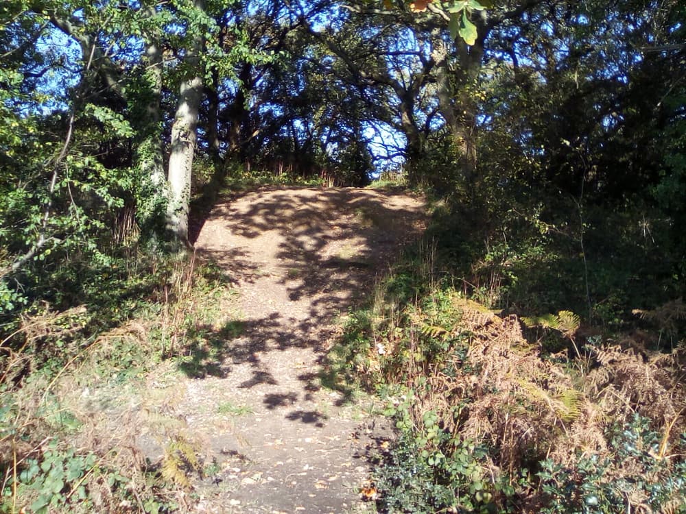
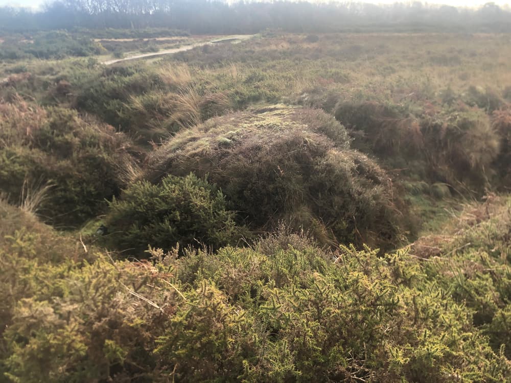
Motte and Bailey castles were medieval fortifications introduced by the Normans. They constructed large mounds of earth or stone (motte) surrounded by an embanked enclosure (bailey). A wooden structure was usually found on top, commanding great views over the lower ground and part of the fort’s defences. Only the earthwork remains of the Motte and Bailey castle are here; the structure has gone, but it is the earliest identifiable fort in Gosport and would have almost certainly defended the crossing of the River Alver. It is now protected as a scheduled ancient monument and is protected by Historic England.
Look also for the pillbox at the base of the mound. A pillbox is a type of blockhouse with loopholes through which to fire weapons.This one was part of the Holbrook and Rowner Stop line built during the 2nd World War.
POI coordinates: 50.7976065982012, -1.1722167056696307
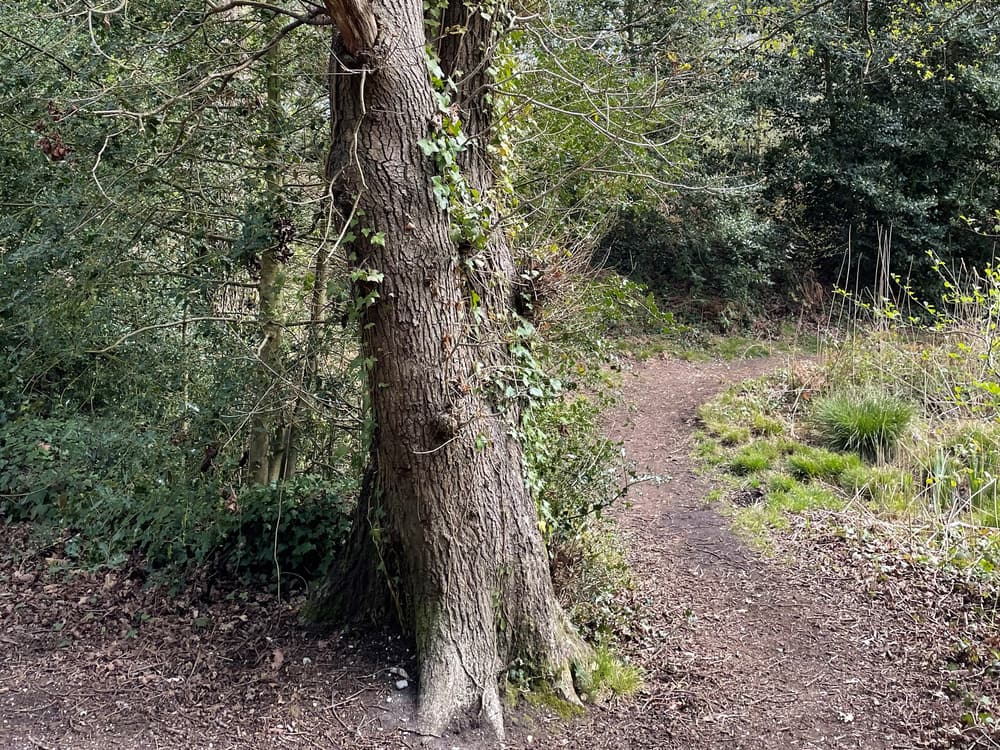
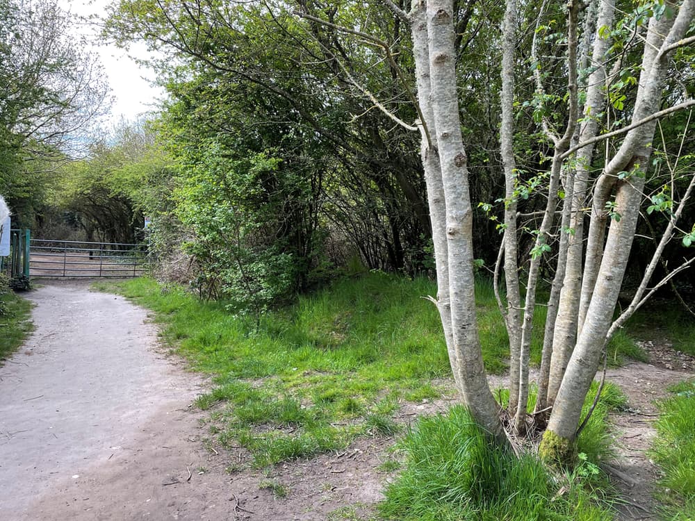
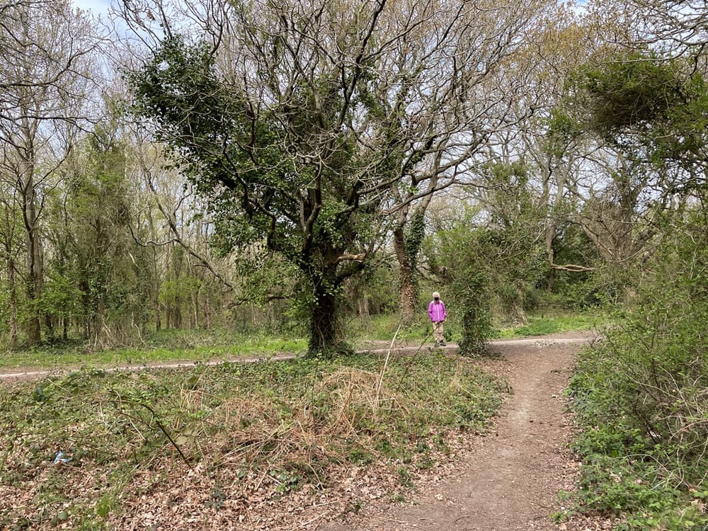
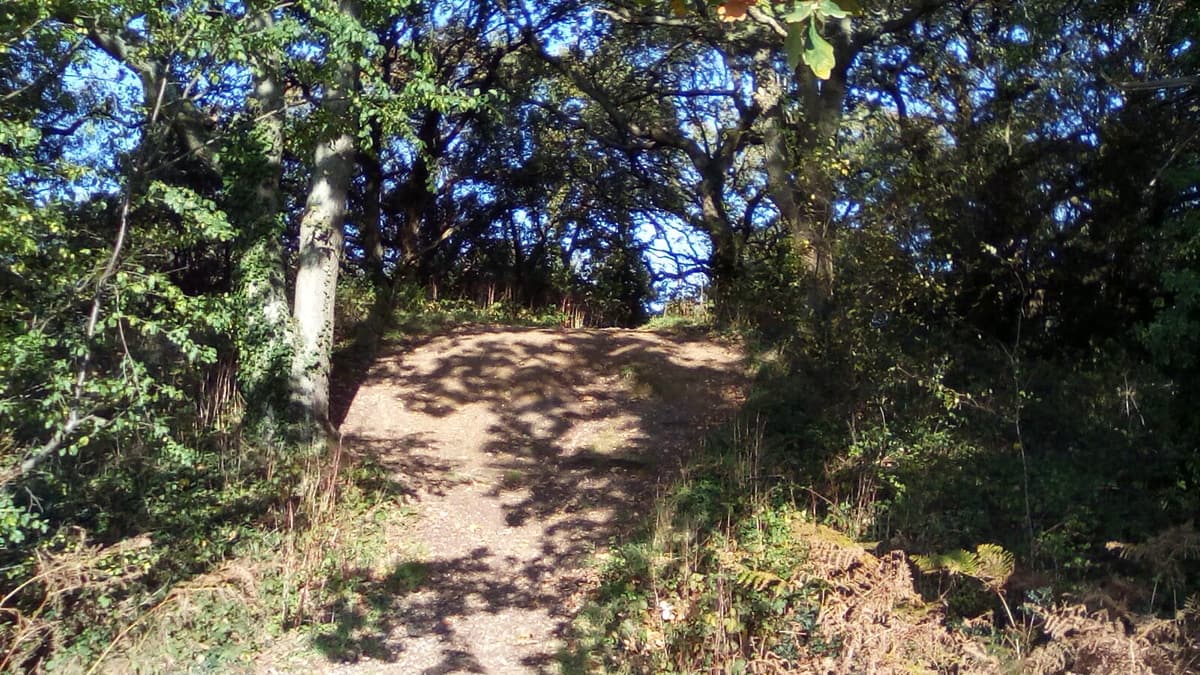
Carters Copse is an area of woodland named after the Reverand Richard Foster Carter who was the rector of St Mary’s Church in Rowner for nearly forty years. He was also part of the influential Foster-Carters who were considerable landowners including Foster Gardens. It was then owned by the MOD before coming in to Borough Council ownership in 1971.
Legend has it that ‘Rabbit Skin Jack’, a notorious poacher, haunts the Copse after apparently hanging himself from the large oak tree in ‘Hangmans Hollow’ with his bootlaces, rather than face justice for his crimes.
POI coordinates: 50.79803026944147, -1.1705143362865855
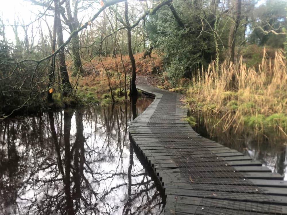
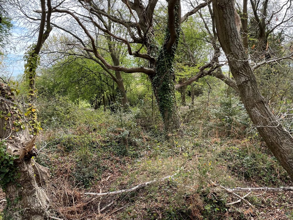
The Carters Copse woodland consists of ancient oaks and alder, with reedbeds, scrub and grassland glades as well as a pond. There is an abundance of wildlife, and if you listen carefully you might hear woodpeckers, Great and Blue Tits, Robins, Warblers and Goldcrests and spot the beautiful butterflies, dragonflies, and if you are lucky a water vole, reintroduced to the Alver Valley in 2010.
It is a peaceful place to walk around and enjoy, despite how close it is to roads and areas of population.
POI coordinates: 50.79724054775865, -1.1685358860324249
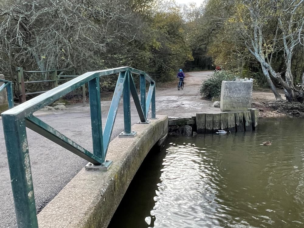
Apple Dumpling Bridge is a well-known and loved crossing point of the Alver River. But, it’s origins are much more significant. Apple Dumpling Bridge was a strategic and historical crossing point used by the nearby Motte and Bailey. The present bridge was built in the 1940s and was constructed to withstand heavy vehicular use.
It is now a popular spot to feed the ducks and moorhens, and to take in the lovely views along the river and reedbeds.
POI coordinates: 50.796918540759094, -1.1735652396148166
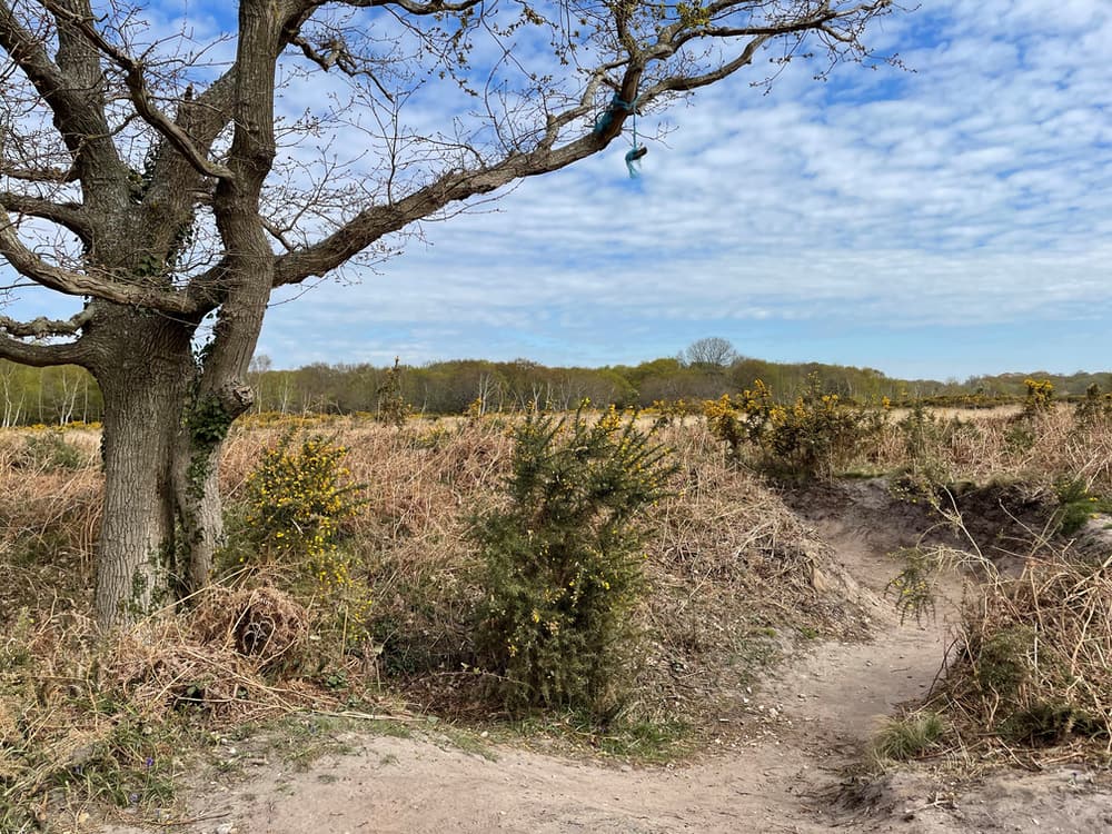
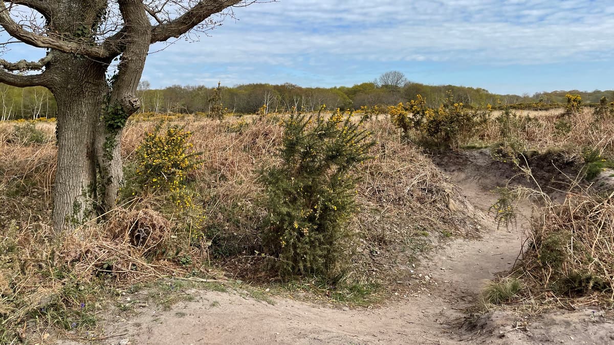
Browndown North is an extensive heathland and an active military training area and caution should be exercised at all times when on site. Access is prohibited when the red flags are displayed, by notice or when the gates are locked. Please do not pick up any objects, keep your dog under effective close control and pick up after it. No fires are allowed and please take you litter home. Any issues whilst on the land, please call the MOD on 01420 483405.
POI coordinates: 50.796900059654995, -1.1761962919019928
Browndown North is the site of an extensive World War One practice trench system consisting of two sets of opposing trench systems, with a no-man’s land between them. Each practice trench system had a 200m long front line, supply trenches and dugouts and the whole area is about the size of 17 football pitches. Work is ongoing by the Heritage Action Zone (HAZ) to carry out further archaeological survey work to rediscover more of this extensive system, and encourage understanding of how the site was used.
POI coordinates: 50.79385754129167, -1.1747522938062755
It is hoped that the work carried out by the HAZ will be able to understand the trench network further, and discover more about the Browndown Ranges, which were used extensively during World War One to train troops in trench warfare.
POI coordinates: 50.79384046067319, -1.1729972282128396
The best time of year to spot the trenches is in winter in January/February when the heathland is not in full bloom.
The system of trenches here is being considered by Historic England’s Listing Team to potentially be given national designation as one of the best preserved and significant practice trench networks in the country.
POI coordinates: 50.79445757331443, -1.1739112420487614
The Alver Valley is part-owned by Gosport Borough Council and the MOD and extends for 200 acres. The area has had an interesting past- originally covered in woodland, remnants of which are found in Browndown and The Wildgrounds, and then being used for agriculture. The River Alver, from which the country parks name originates, drains land from Peel Common and enters the sea near the Diving Museum at Stokes Bay.
The valley consists of peat and gravel deposits, which meant that many gravel pits were created as the gravel was extracted. More recently, during the 1970’s the area was used to bury refuse. The land now has become home to a range of flora and fauna.
POI coordinates: 50.79582006719775, -1.1751962733490158
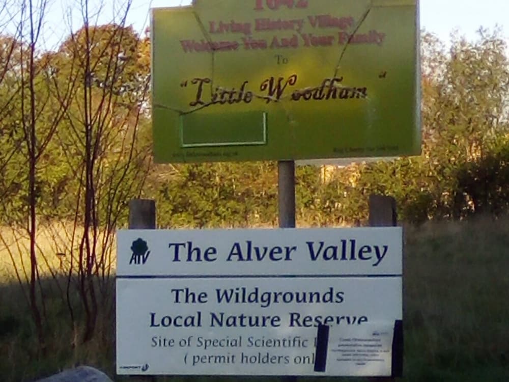
The Wildgrounds is a 28 hectare Site of Special Scientific Interest (SSI). It is also a Local Nature Reserve and is owned and managed by the Borough Council, and has been since 1978. The reserve is accessed by permit only and is usually open March-October. The area includes ancient oak, heath, meadow and fenland, and is host to a wide range of habitats and animals.
The Little Woodham Living History Village is a living museum dedicated to recreating life in a 17th Century rural village. Here you can immerse yourself in the everyday lives, stories and crafts of the 17th Century. Open Easter for selected weekends over the Spring/Summer.
A new garden centre is due to open in 2022 near to Grange Farm- a 1,000 acre farm where now only the farmhouse remains.
POI coordinates: 50.79944929266952, -1.1727121837466765

 Nearest Train (or tube) Station(s):

