- Home
- All Walks · Walking Routes
- Walks by Region
- Walks in Scotland
- Creag Uchdag from Glen Lednock
Walk Details
If you’re looking for a more challenging walk to do – this could be the one for you. Creag Uchdag is a little known summit rising above the boggy plateaux and broken crags between Loch Tay and Glen Lednock. Weather permitting – it offers some amazing views from the top.
We’re starting our walk at the parking area at the end of the public road near Invergeldie. This is also the starting point for the popular Ben Chonzie so can get very busy – if need be there are a few places to park further back down the glen (but take care not to block any roads or gateways!).
Follow the tarmac road, over the old bridge and keep straight on. As the road starts to climb there are good views of the cascades of the Sput Rolla down to the left – though it depends on how much water is being released from the reservoir as to how impressive looking it is! At another fork we keep right on the main route which winds up to reach the eastern end of the impressive Lednock dam. We fork right again – leaving the tarmac – as the road approaches the head of the dam wall. The track leads us along the eastern side of Loch Lednock.
As the track approaches some woods it forks. We’re taking the right branch, and climbing steeply up the hillside. The track forks again; this time we take the left branch which leads us to a gate in the post-and-wire fence (often locked) – we pass through (or over) and then cross the Allt Mòr beyond. There used to be a bridge here but in normal conditions the burn can be crossed dry shod. We continue up the slope beyond to pass an old gate, which is all that remains of an old fence, and into the open hillside.
This is where the challenge can really start as the next section can be boggy grass and moorland. In poor conditions this can be hard to navigate – so make sure you’ve checked (and tripled checked) the forecast before setting out! If you can see ATV tracks – follow them (providing they are going in the right direction!).
We pass a prominent large boulder and then continue across the plateau before ascending Meall Dubh Mòr (809m). This is also where we see Creag Uchdag for the first time on our walk.
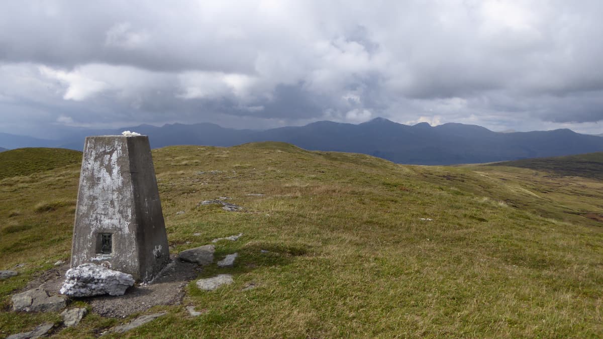
There is a faint path that leads us up a ridge towards the summit, which is marked by a trig point. The views are dominated by the Ben Lawers range to the north, with Ben Lui, Ben More and Stob Binnein and Ben Vorlich all well seen on a good day.
When you’re ready – we retrace your steps to the last bealach and then descend into Coire an Eachdarra. The easiest route is keeping to the left (south) side of the burn – the other side is rocky – and continuing down towards the head of the loch. Further down we come to a fence line and cross to the other side when there is a gate for easier terrain, continuing down to eventually reach a circular sheep fank close by the loch.
We’re walking back along the shoreline of the loch – which is rough going and can be slow. If you spy traces of a faint grassy sheep path just above the tide line you may want to follow that back round towards the dam.
Eventually we reach an area of fenced sheep enclosures below the woodland, and the bridge over the waterfall and gorge leads back to the near the dam where we retrace our steps back to where we started.
Read the Countryside Code before venturing out
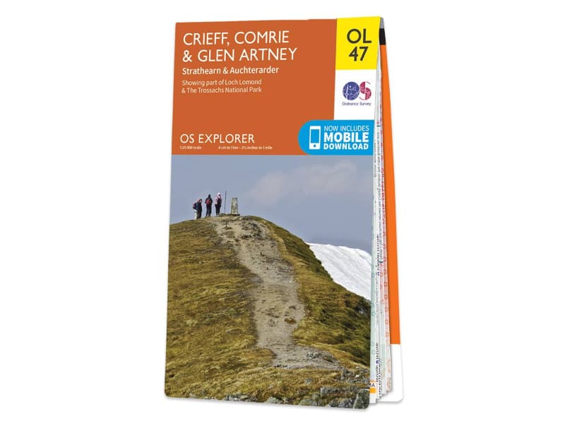
Make sure to take a map and compass, and know how to use them before going into our National Parks #BeAdventureSmart
Tips for New Walkers: click here to download (PDF).
Remember to prepare properly before heading out on any type of walk or outdoor activity. Tell people where you are going and what time you are expected back. As Wainwright says "There's no such thing as bad weather, only unsuitable clothing".

