")


Click to zoom


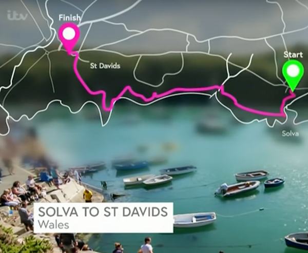
Walk Overview
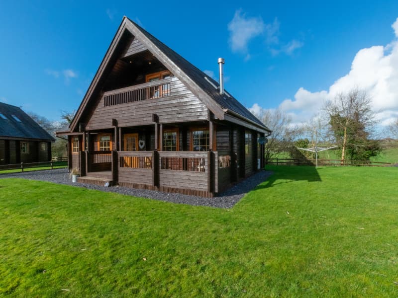
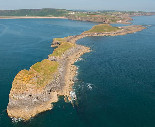
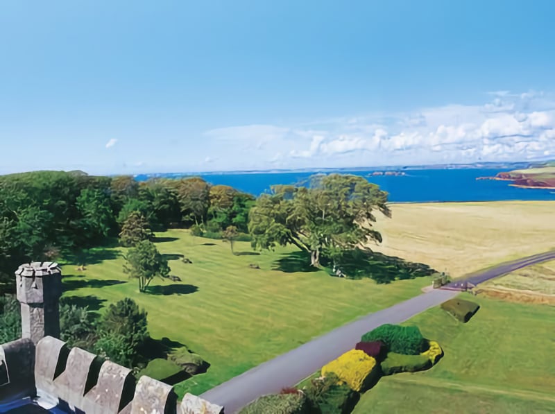
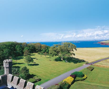
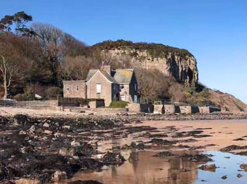
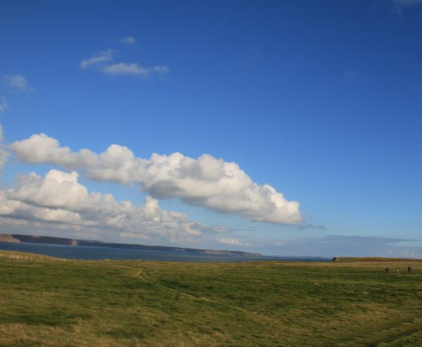
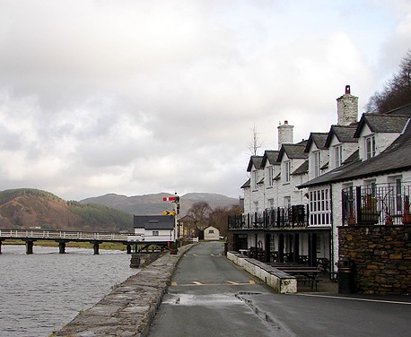
This 130-mile walk around the Isle of Anglesey Coastal Path covers much of the island’s stunning coastline in one circular route.
Read more ...
This long-distance route takes roughly 12 days to complete, passing through 20 towns and villages and including more than 4,000 metres of ascent – so you’ll need strong levels of fitness and good preparation in terms of planning your accommodation and organising your gear.
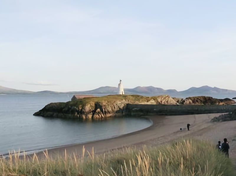
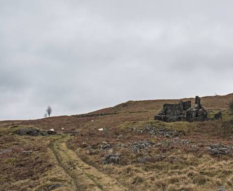
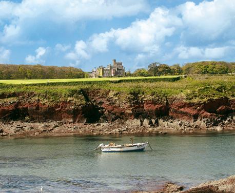
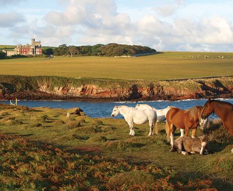
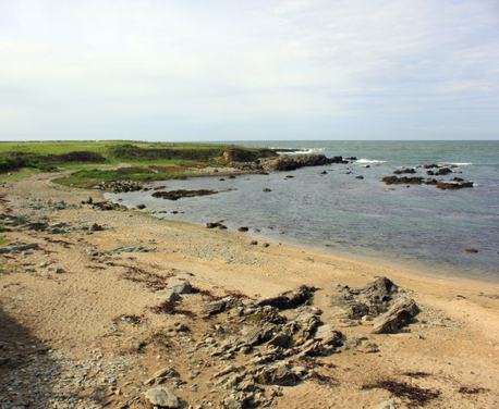
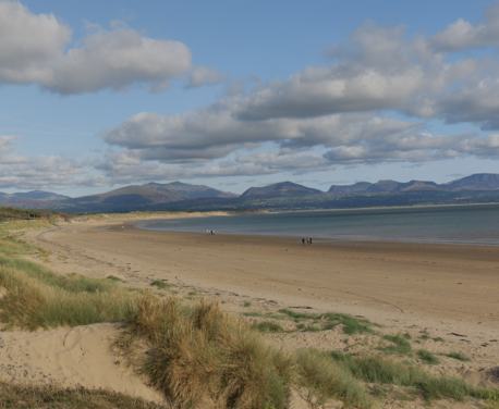
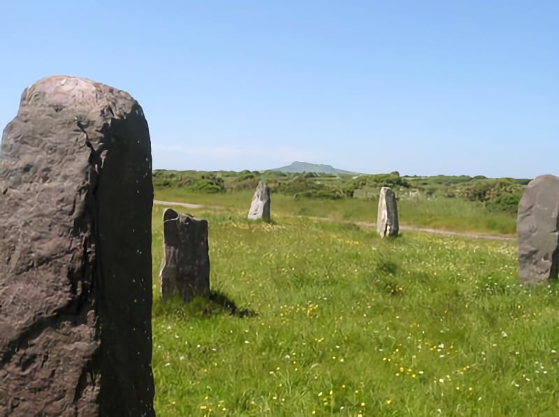
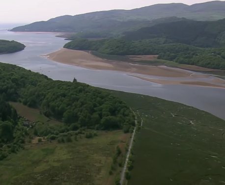
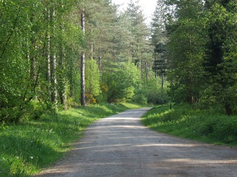
The Isle of Anglesey Coastal Path is set in an Area of Outstanding Natural Beauty that covers 95% of the island’s coast, passing through farmland, heathland, dunes, salt-marshes, woodland and along spectacular cliff-tops.
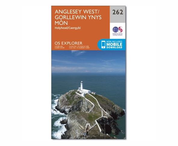
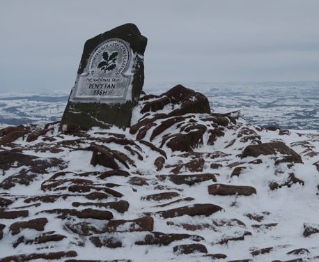
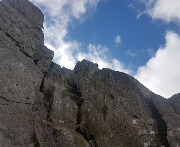
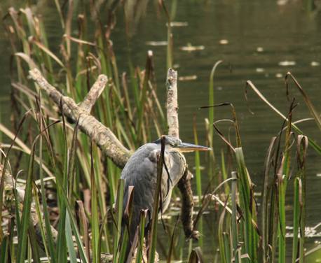
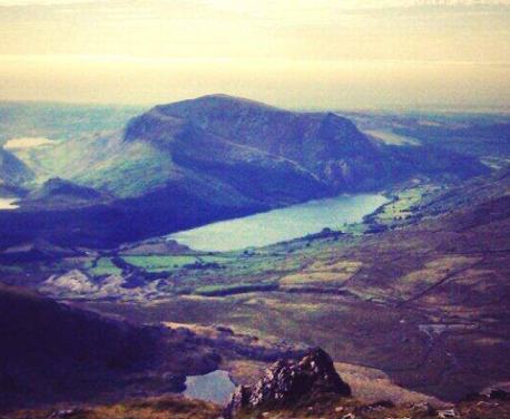
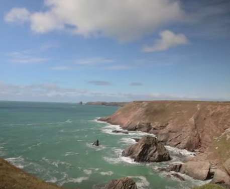
You’ll climb Holyhead Mountain – Anglesey’s highest point at 220m – visit South Stack lighthouse, pass spectacular cliffs and sea arches, stroll through nature reserves and encounter wildlife ranging from peregrines and chough to seals and porpoises.
If you complete the full walk, you’ll receive a special pin badge from the Friends of the Isle of Anglesey Coastal Path. Click here for full details.
This route was voted 32nd in a 2017 ITV poll to find Britain’s Favourite Walk.
TOG VERDICT: A long but rewarding multi-day route around an island packed with stunning landscapes, spectacular wildlife and Welsh legend.
 Nearest Train (or tube) Station(s):
Holyhead, Chester