The Yorkshire Three Peaks is a challenge hike in which walkers take on Pen y Ghent, Whernside and Ingleborough in under 12 hours. It is a reasonably challenging 24/25 mile day hike that offers a variety of terrain and some wonderful views across the Ribble valley. I’ve written about my two experiences of completing the challenge previously (most recently here), but wanted to write this post to offer a sense of the character of each of the three peaks, to help you prepare for your own Yorkshire Three Peaks walk.
There isn’t technically a set of instructions that all must follow, but the most popular route starts and finishes in Horton in Ribblesdale, going in an anti-clockwise direction. This way you summit Pen y Ghent first, then Whernside, and finally Ingleborough. Going in this direction means you are on top of your first peak very quickly, that you reach the Ribblehead Viaduct in time for lunch, and you face the sheer wall of Ingleborough going up rather than coming down, definitely my preference.
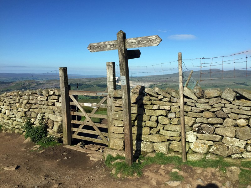
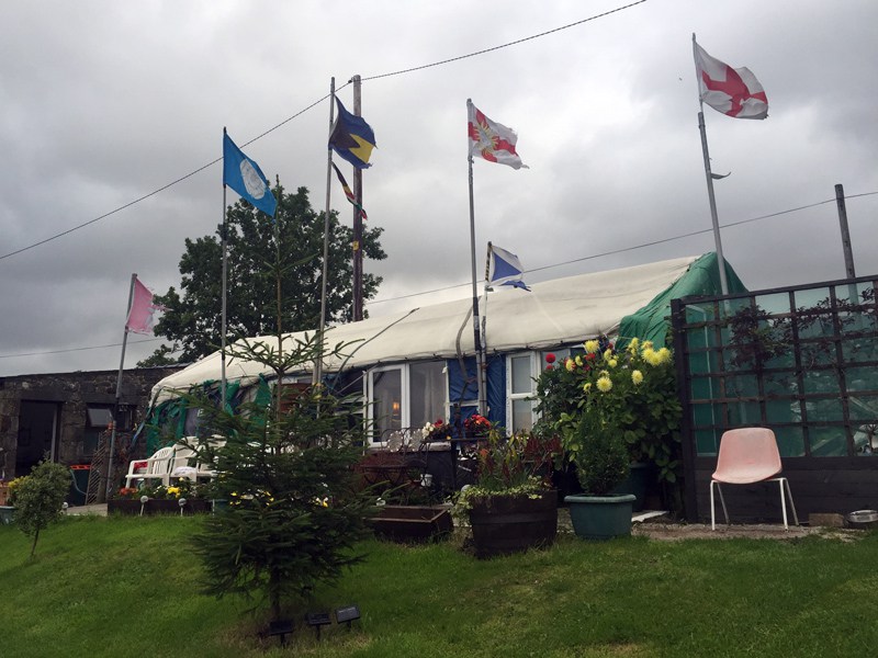
While the whole route is not way marked itself, it follows well-trodden paths (and the Pennine Way in places), and is reasonably straight forward to navigate. It’s a popular walk and so there will almost always be other walkers in front and behind of you, making it a great one for meeting and chatting to other people. When we walked it this time around we picked the same day as the Macmillan Cancer Support challenge hike, which meant we had the benefit of pink flags and mile markers the whole way, but that also means we were all too aware of how far we had left before we got back to the pub!
This isn’t designed to be a route description you can follow but rather relay some of the main characteristics of the peaks so you know what to expect.
Horton in Ribblesdale
This small village in the heart of Yorkshire is the perfect base for the Yorkshire Three Peaks and other walks in this area. With camping, B&Bs, pubs and cafes there is no need to rush your visit here. We camped in the Holme Farm Campsite, which is right next to the Golden Lion pub and opposite the Church and path up to Pen y Ghent. It was really good value and an excellent base, I’d happily use it again the next time (!) I do this walk.
Pen y Ghent
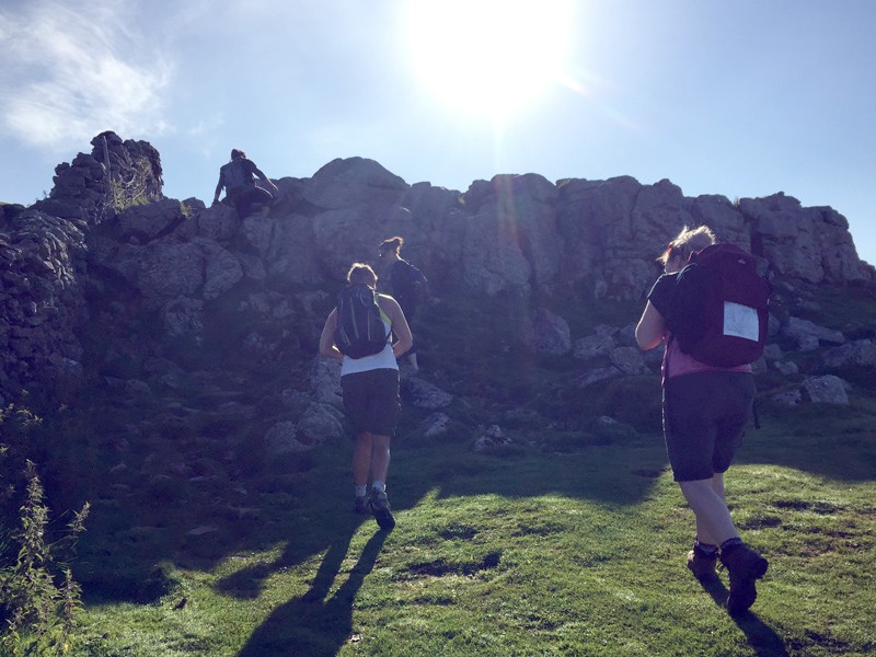
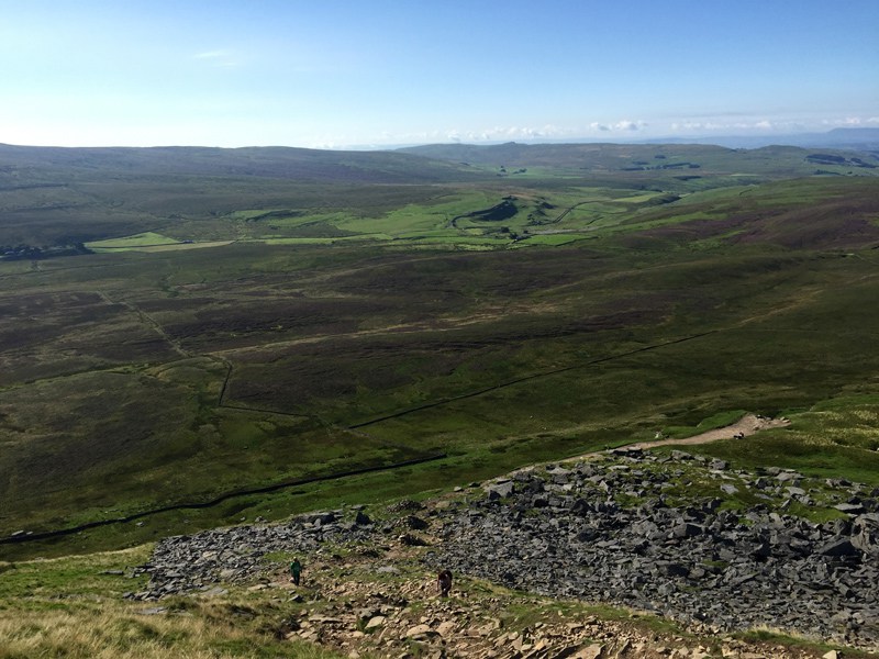
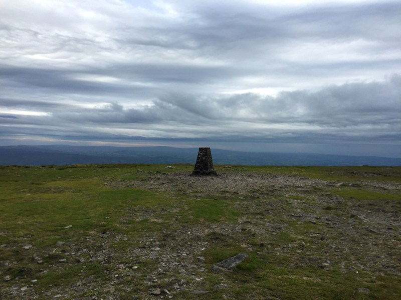
You don’t have much time to warm up your muscles as you’re ascending almost as soon as you leave the village. The route takes you along the edge of a dry stone wall and up a couple of small scrambles before you get to the main steep and rocky section that ascends quickly to the top. With my short legs I did need to use my hands, but those a little taller than me should find it easier. The trig point is a short walk from the top of this section. The biggest problem (if it can be classed a problem), with this peak is that you are straight into the steep climb before you’ve had chance to get into your stride, and so it can take it out of you somewhat. But the views are worth it and you will feel a real sense of achievement when at the top.
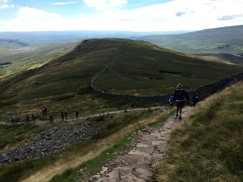
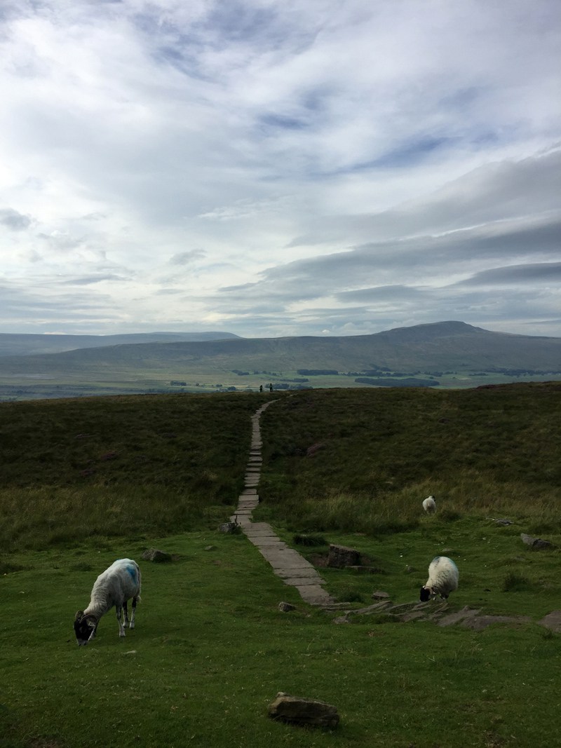
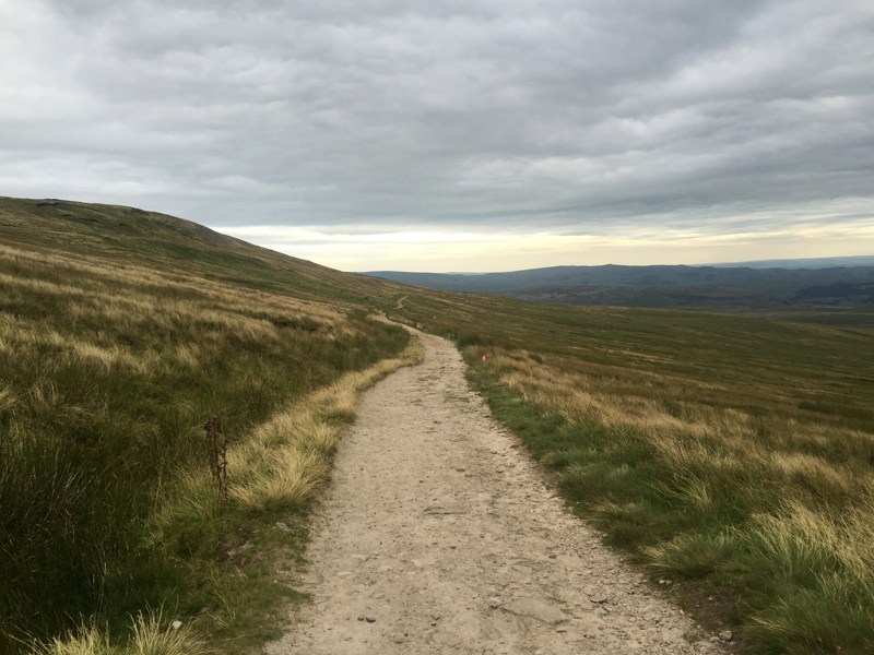
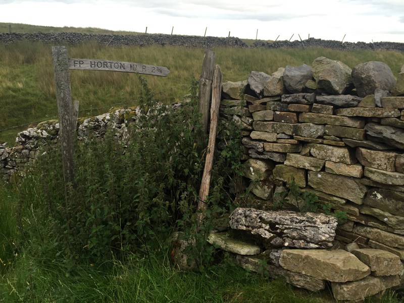
The descent of Pen y Ghent is long and while beautiful, it does take quite a while until you have the Ribblehead Viaduct in your sights. The path is generally easy underfoot as it zigzags down from the summit and then undulates over the hills towards Nether Lodge. You’ll pass hundreds of sheep grazing on the hills, climb over dry stone walls via little steps and the cutest gates, and see plenty of farm buildings both current and derelict. The last section before you reach the Viaduct takes you along the B6479 towards Ribblehead; don’t forget stay on the right facing oncoming traffic, and make yourself as visible as possible – it’s a busy road.
Whernside
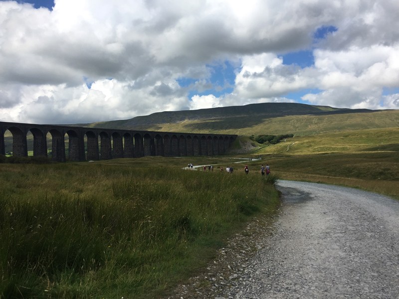
Walking alongside the absolutely huge Ribblehead Viaduct, which is a great place to stop for lunch as you’ll be around four hours into your walk by now if you’re anything like me (and if you’re walking at the weekend you’ll be able to get an ice cream and a drink from the man in the car park which is a nice treat), you will soon start your ascent of Whernside. The long path up the side of the hill and along the ridge is deceptive in that it doesn’t look very steep but constant elevation does wear out the thighs somewhat.
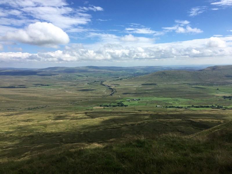
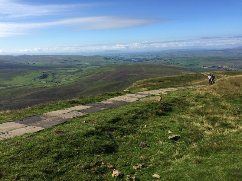
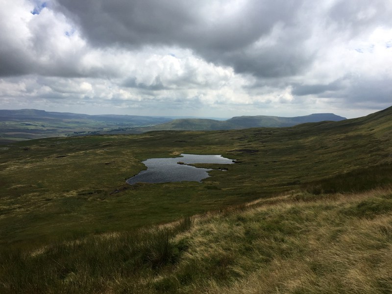
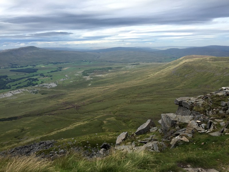
Walking along the ridge atop Whernside is probably my favourite part of the Yorkshire Three Peaks hike; superb views on both sides. If you look to your left on a good day you will easily make out the Ribblehead Viaduct in the valley, Pen y Ghent over to one side and Ingleborough on the other. Your whole walk in one view – and it all looks quite distant at this point!
It’s worth noting that the Trig Point on Whernside is actually the other side of the dry stone wall to the path, and you have the narrowest of gaps to get through to reach it. Not easy with a walking pack on your back, and quite amusing with aching legs.
Whereas the views from the Whernside ridge are my favourite of the hike, the descent from this peak is my least favourite part of the challenge. You continue south along the ridge from the Trig Point where the path quickly becomes rocky and you head down towards the farm below on steep and uneven steps. I like to take this part of the hike VERY carefully as in my head it would be incredibly easy to fall and roll down the rest of the way (although this might be quicker…), this is a section that seems to worry others too as there were quite a number of people taking it very steady and using poles and hands to make sure they got down without hurting themselves.
At the farm at the bottom of the hill there’s a walkers café serving drinks and snacks, the perfect place to stop for a cup of tea after eight hours on your feet. There are also flushing toilets here which is a bonus on a hike such as this!
Ingleborough
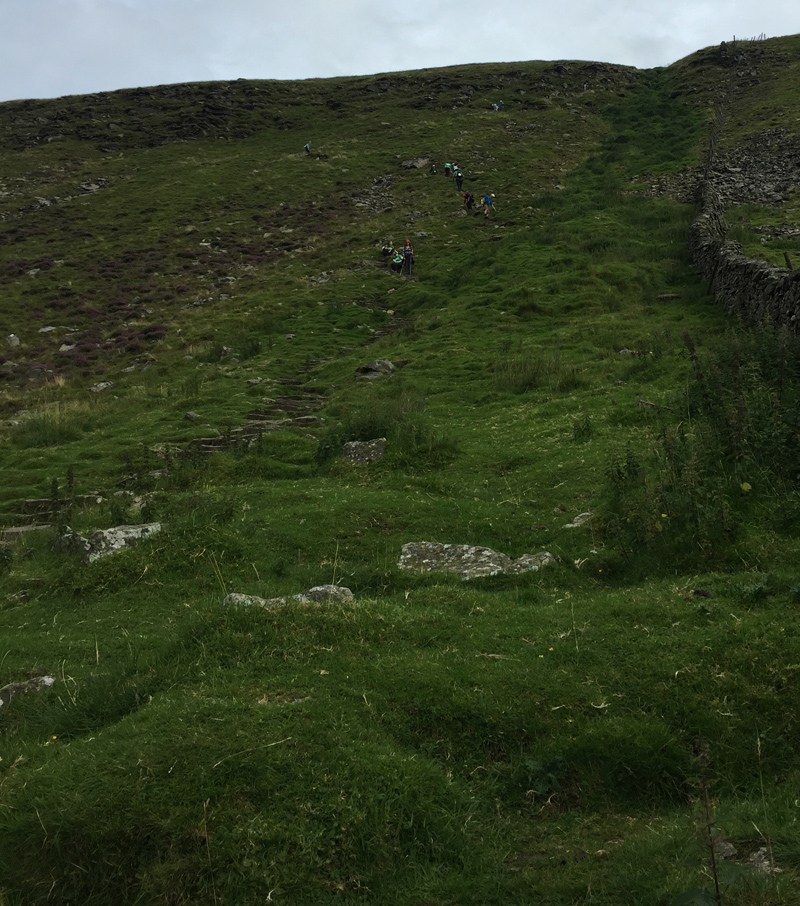
After crossing the main road and heading across undulating fields and along a well maintained limestone path, which ascends slightly, you will soon reach the base of the main climb up to the summit if Ingleborough. You’ll realise that you’ve been able to see the route up to the top for a few miles, but have probably dismissed it as an old dried up waterfall or other geological feature in the side of the hill. I advise that you stop for a rest and some Jelly Babies here, and then tackle the steep tall steps (almost certainly requiring your hands, even if you are a lot taller than me – some of us have to also use our knees here!) to reach the top.
There’s a short reprieve at the top of this main steep section and then another short bit of scrambling (or stepping for you taller folk) before you reach a plateau – the Trig Point is at the other end of that plateau. From the bottom of the main push to the plateau will take you around half an hour; it’s steep but it’s the last climb and there are some fabulous views on the way up and from the top.
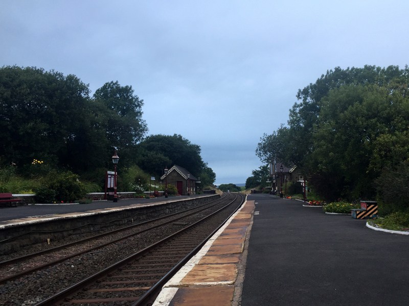
You have your only bit of backtracking at the top of Ingleborough (because you really do need to get your Trig Point selfie), as you head back down the first set of stones before joining a winding path down into the village of Horton in Ribblesdale. If the weather has closed in be sure to check your bearings here as I’ve heard lots of stories of people taking the wrong path down. Your path descends over four or five miles, with some sections being really easy underfoot (nice bouncy moorland grass) and others being much slower going. Lots of sheep, a few stream crossings, plenty of gates, and a few rocky sections. It feels a very long way down into the valley, and you can’t actually see it until you’re very nearly there, but eventually you will find yourself at the railway station (cross the tracks with care!) and back into the village. The (slightly jagged) circle is complete and the challenge is done!
The End!
The only thing that’s left is to check your watch to see if you made it within the 12 hours – which is two miles an hour and four hours per peak. No problem. And then of course head to the pub for a celebratory drink and some hot food.

