Walk Details
This comparatively long walk follows the Pembrokeshire Coast Path around the peninsula adjacent to the village of Dale, visiting St. Ann’s Head and various bays en route.
Overall the coastal scenery is very fine and, as usual on the coast path, the route finding is easy. There are several stiles and some flights of steps but overall, the ascent is not great.
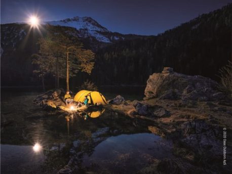
Dale is a pleasant village, with strong emphasis on sailing and other water-based pastimes.
Read more ...
Nineteenth century fortifications, guarding the entrance to Milford Haven, were constructed at Dale Point and West Blockhouse Point; the former is now a eld studies centre. At St. Ann’s Head, a coastguard complex included lighthouse and cottages, now in private ownership.
From the car park turn right along the roadside, passing the café and the Griffin Inn.
1. Immediately after the disabled parking spaces on left, turn left, to follow the tarmac road heading for ‘Field Centre’. This road is part of the Pembrokeshire Coast Path. Approaching the eld studies centre in about three quarters of a mile, look out for a gate on the right, waymarked with the coast path acorn.
2. Turn right here to take a grass path cutting across the back of Dale Point and then around the huge Castlebeach Bay. After Watwick Point is Watwick Bay, with an expanse of sand.
At West Blockhouse Point are navigation towers and the remains of more fortifications. After descending steps and crossing a boardwalk over the stream at Mill Bay rise up steps to a waymarked gate, soon passing a plaque on a rock commemorating the landing of Henry Tudor on 7th August 1485.
Approaching St. Ann’s Head, with its proliferation of houses and other buildings, pass below the first terrace, alongside a wall on the left and cross a meadow, rising towards another row of houses. In front of these houses, bear right to follow the fence to a gate and signpost.
3. Turn right, along the tarmac road, passing a former lighthouse, now a private dwelling. After passing a residents’ parking area turn left at a well-marked gate to continue along the coast path. After Frenchman’s Bay, pass a ‘National Trust Kete’ sign and continue along the cliff tops, with superb coastal scenery. There are great banks of sea thrift, gorse, primroses and other wild flowers along this length of the path. Hayguard Hay Farm is to the right, behind a large bay, before the descent to Westdale Bay, with its ne beach, is commenced.
There are views right across the peninsula, including Dale village. The descent includes a long flight of steps.
4. Behind the beach turn right, over an old stone stile, to walk along the bottom of a meadow towards the village. Go through a little gate to join an unsurfaced road. Go straight ahead to join the public highway, passing Dale Castle, then the church of St. James the Great.
Turn right at a junction with the incoming road to return to the car par
 Nearest Train (or tube) Station(s):
Milford Haven